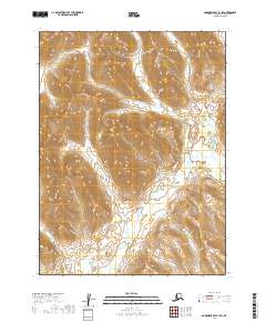
2019 Map of Goodnews Bay B-1 SW
USGS Topo · Published 2019About this map
Weary River and its multiple tributaries define the high-relief landscape of this remote corner of southwest Alaska. The drainage pattern shown here, involving the headwaters of the Ongoke River and the winding course of Longarm Cr, reveals a wilderness devoid of modern structural development or road infrastructure. This 2019 survey focuses on the intricate topography of the Dillingham Census Area, where the land is primarily characterized by steep ridgelines and the seasonal flow of glacial or snow-fed waters. The absence of named settlements or man-made landmarks underscores the isolation of this terrain, making it a critical reference for understanding the natural hydrologic boundaries between the T9S, T10S, and T11S townships.
Find a feature on this map
9 named features on this map. Tap any name to fly to it.
Don’t see what you’re looking for? This feature index may not catch every label — zoom into the map to look around manually.
Map Details
Editions of this 2019 Goodnews Bay B-1 SW Map
This is the sole edition of this map. No revisions or reprints were ever made.
Other maps of this area

1951 · Goodnews
USGS Topo · 1:250,000
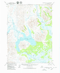
1979 · Goodnews Bay A-1
USGS Topo · 1:63,360

1979 · Goodnews Bay B-2
USGS Topo · 1:63,360

1979 · Goodnews Bay B-1
USGS Topo · 1:63,360

1979 · Goodnews Bay
USGS Topo · 1:250,000
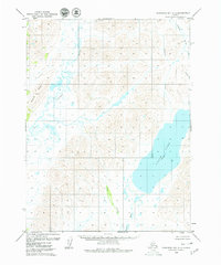
1979 · Goodnews Bay A-2
USGS Topo · 1:63,360
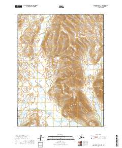
2019 · Goodnews Bay A-1 NW
USGS Topo · 1:25,000
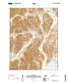
2019 · Goodnews Bay A-2 NE
USGS Topo · 1:25,000
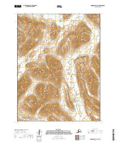
2019 · Goodnews Bay B-2 SE
USGS Topo · 1:25,000
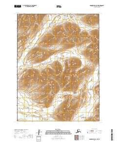
2019 · Goodnews Bay B-2 NE
USGS Topo · 1:25,000