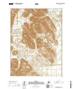
2020 Map of Goodnews Bay B-4 SW
USGS Topo · Published 2020About this map
The Gechlak Mountains and the Ahklun Mountains dominate this 2020 landscape in southwestern Alaska. The map defines a significant administrative boundary where the Bethel Census Area meets the Dillingham Census Area, a line that cuts through the drainage systems of the region. Water dominates the lower elevations and valley floors, notably around the expansive Kukaktlik Lake and the winding course of the Kukaktlik River. Further northeast, Gechlak Lake feeds into Gechlak Cr, illustrating the complex alpine hydrology of this roadless wilderness. This topographic study emphasizes the raw elevation changes of the mountain ranges, providing a clear record of the glacial-carved terrain before any significant human development or infrastructure was established in this specific corridor.
Find a feature on this map
7 named features on this map. Tap any name to fly to it.
Don’t see what you’re looking for? This feature index may not catch every label — zoom into the map to look around manually.
Map Details
Editions of this 2020 Goodnews Bay B-4 SW Map
This is the sole edition of this map. No revisions or reprints were ever made.
Other maps of this area

1951 · Goodnews
USGS Topo · 1:250,000

1954 · Goodnews A-4
USGS Topo · 1:63,360

1979 · Goodnews Bay A-5
USGS Topo · 1:63,360

1979 · Goodnews Bay B-5
USGS Topo · 1:63,360

1979 · Goodnews Bay
USGS Topo · 1:250,000
1979 · Goodnews Bay B-4
USGS Topo · 1:63,360
2020 · Goodnews Bay A-5 NE
USGS Topo · 1:25,000
2020 · Goodnews Bay B-5 SE
USGS Topo · 1:25,000
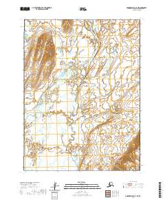
2020 · Goodnews Bay A-4 NE
USGS Topo · 1:25,000
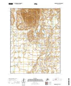
2020 · Goodnews Bay B-4 SE
USGS Topo · 1:25,000