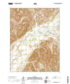
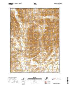
2020 Map of Goodnews Bay B-5 NW
USGS Topo · Published 2020About this map
The Ahklun Mountains dominate the southeastern reach of this area, providing a stark topographical contrast to the river valleys that snake through the western half of the terrain. The Goodnews River serves as the primary drainage for the region, fed by tributaries including Nimgun Cr and Awoyak Cr. These waterways cut through a landscape characterized by significant elevation changes, most notably at Nagyagak Mtn, which rises as a distinct landmark in the southern interior. The absence of roads or developed settlements underscores the wilderness character of this Bethel Census Area territory, where the map reveals a land defined entirely by its complex hydrography and high-relief mountain systems.
Find a feature on this map
9 named features on this map. Tap any name to fly to it.
Don’t see what you’re looking for? This feature index may not catch every label — zoom into the map to look around manually.
Map Details
Editions of this 2020 Goodnews Bay B-5 NW Map
This is the sole edition of this map. No revisions or reprints were ever made.
Other maps of this area

1951 · Goodnews
USGS Topo · 1:250,000

1954 · Goodnews B-6
USGS Topo · 1:63,360

1954 · Goodnews C-6
USGS Topo · 1:63,360

1979 · Goodnews Bay C-5
USGS Topo · 1:63,360

1979 · Goodnews Bay B-5
USGS Topo · 1:63,360

1979 · Goodnews Bay
USGS Topo · 1:250,000
2020 · Goodnews Bay B-5 SW
USGS Topo · 1:25,000
2020 · Goodnews Bay B-5 SE
USGS Topo · 1:25,000
2020 · Goodnews Bay C-6 SE
USGS Topo · 1:25,000
2020 · Goodnews Bay B-6 NE
USGS Topo · 1:25,000