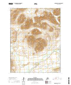
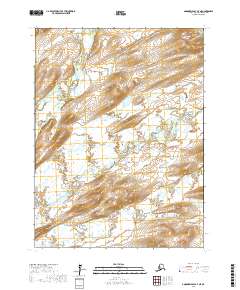
2017 Map of Goodnews Bay B-7 SE
USGS Topo · Published 2017About this map
Sugtutliq Mtn rises as a central landmark in this remote Alaska landscape, which is defined by a dense network of waterways feeding into the Goodnews River and the S Fork Arolik River. The drainage patterns here reveal a complex hydrologic system where small tributaries like Wattamuse Cr, Granite Cr, and Cascade Cr flow from high elevations through steep valleys. This 2017 survey documents the exact courses of these mountain streams before they reach the flatter coastal lowlands to the south. The prevalence of named creeks such as Velvet Cr, Slate Cr, and Kanyik Cr suggests a region historically explored for its water resources and potential mineral deposits. The map provides a precise look at the township and range boundaries across Bethel Census Area, including t9s r71w and t10s r72w, which are essential for identifying specific land tracts in this expansive wilderness.
Find a feature on this map
16 named features on this map. Tap any name to fly to it.
Don’t see what you’re looking for? This feature index may not catch every label — zoom into the map to look around manually.
Map Details
Editions of this 2017 Goodnews Bay B-7 SE Map
This is the sole edition of this map. No revisions or reprints were ever made.
Other maps of this area

1951 · Goodnews
USGS Topo · 1:250,000

1954 · Goodnews B-7
USGS Topo · 1:63,360

1954 · Goodnews A-7
USGS Topo · 1:63,360

1954 · Goodnews A-6
USGS Topo · 1:63,360

1954 · Goodnews B-6
USGS Topo · 1:63,360

1979 · Goodnews Bay
USGS Topo · 1:250,000
2017 · Goodnews Bay B-7 NE
USGS Topo · 1:25,000
2017 · Goodnews Bay B-7 NW
USGS Topo · 1:25,000
2017 · Goodnews Bay B-6 NW
USGS Topo · 1:25,000
2017 · Goodnews Bay A-7 NE
USGS Topo · 1:25,000