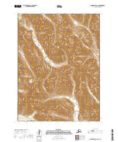
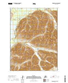
2019 Map of Goodnews Bay C-1 NW
USGS Topo · Published 2019About this map
Wood River Mountains terrain dominates this landscape in the Dillingham Census Area of Alaska, as documented in this 2019 survey. The area is defined by significant elevation changes, with ridges and summits rising sharply above the headwaters of regional drainage systems. A primary hydrological feature on this sheet is Little Togiak Cr, which flows through the southeastern portion of the quadrangle. The map is part of the modern 7.5-minute series, capturing the remote interior geography of the state with precision. The scarcity of named human settlements or infrastructure emphasizes the untouched nature of this mountain range, providing a clear record of the area's natural state in the early twenty-first century. This survey is particularly useful for those studying the physical geography and hydrography of the southwestern Alaska wilderness.
Find a feature on this map
6 named features on this map. Tap any name to fly to it.
Don’t see what you’re looking for? This feature index may not catch every label — zoom into the map to look around manually.
Map Details
Editions of this 2019 Goodnews Bay C-1 NW Map
This is the sole edition of this map. No revisions or reprints were ever made.
Other maps of this area

1951 · Goodnews
USGS Topo · 1:250,000

1954 · Goodnews C-2
USGS Topo · 1:63,360

1979 · Goodnews Bay D-1
USGS Topo · 1:63,360

1979 · Goodnews Bay
USGS Topo · 1:250,000

1979 · Goodnews Bay C-1
USGS Topo · 1:63,360

1979 · Goodnews Bay D-2
USGS Topo · 1:63,360
2019 · Goodnews Bay C-2 SE
USGS Topo · 1:25,000
2019 · Goodnews Bay C-1 SW
USGS Topo · 1:25,000
2019 · Goodnews Bay C-1 SE
USGS Topo · 1:25,000
2019 · Goodnews Bay C-2 NE
USGS Topo · 1:25,000