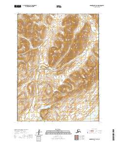
2020 Map of Goodnews Bay C-5 SE
USGS Topo · Published 2020About this map
Ahklun Mountains dominate this remote stretch of the Bethel Census Area, where the high-elevation landscape is carved by steep drainages and winding waterways. The Awayak Cr flows southward through the western half of the sheet, eventually feeding toward the southern lowlands. In the southeast, the terrain softens as it nears Goodnews Lake, a significant water body situated at the foot of the surrounding peaks. The Goodnews River also makes an appearance in the northeastern corner, cutting through the high country before exiting the quadrangle. Aside from the natural geography, the map is marked by the Public Land Survey System grid, with several townships such as t7s r66w and t7s r67w defining the administrative boundaries of this wilderness area. The lack of modern infrastructure highlights the preserved state of the terrain near Tuntunguak Mtn during this 2020 survey.
Find a feature on this map
11 named features on this map. Tap any name to fly to it.
Don’t see what you’re looking for? This feature index may not catch every label — zoom into the map to look around manually.
Map Details
Editions of this 2020 Goodnews Bay C-5 SE Map
This is the sole edition of this map. No revisions or reprints were ever made.
Other maps of this area

1951 · Goodnews
USGS Topo · 1:250,000

1954 · Goodnews C-4
USGS Topo · 1:63,360

1979 · Goodnews Bay C-5
USGS Topo · 1:63,360

1979 · Goodnews Bay B-5
USGS Topo · 1:63,360

1979 · Goodnews Bay
USGS Topo · 1:250,000
1979 · Goodnews Bay B-4
USGS Topo · 1:63,360
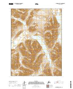
2020 · Goodnews Bay C-4 NW
USGS Topo · 1:25,000
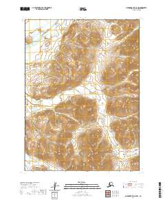
2020 · Goodnews Bay C-5 NW
USGS Topo · 1:25,000
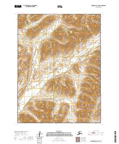
2020 · Goodnews Bay C-4 SW
USGS Topo · 1:25,000
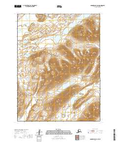
2020 · Goodnews Bay B-5 NE
USGS Topo · 1:25,000