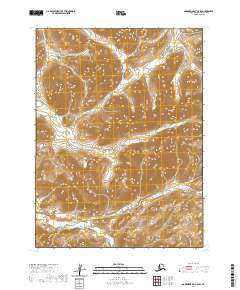
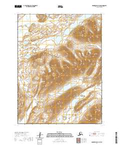
2020 Map of Goodnews Bay C-5 SW
USGS Topo · Published 2020About this map
Nimgun Lake sits at the heart of this southwestern Alaskan terrain, surrounded by a complex system of drainages that define the local geography. The landscape is dominated by the winding path of Nimgun Cr, which moves across the central and southern sections, while Nukluk Cr cuts through the northern reaches of the quadrangle. This 2020 topographic study illustrates the intricate relief and hydrography within the t7s r68w and t7s r67w townships. The absence of roads or established settlements emphasizes the undisturbed character of this region in the Bethel Census Area, where the natural water systems remain the primary landmarks for navigation and land management.
Find a feature on this map
9 named features on this map. Tap any name to fly to it.
Don’t see what you’re looking for? This feature index may not catch every label — zoom into the map to look around manually.
Map Details
Editions of this 2020 Goodnews Bay C-5 SW Map
This is the sole edition of this map. No revisions or reprints were ever made.
Other maps of this area

1951 · Goodnews
USGS Topo · 1:250,000

1954 · Goodnews B-6
USGS Topo · 1:63,360

1954 · Goodnews C-6
USGS Topo · 1:63,360

1979 · Goodnews Bay C-5
USGS Topo · 1:63,360

1979 · Goodnews Bay B-5
USGS Topo · 1:63,360

1979 · Goodnews Bay
USGS Topo · 1:250,000
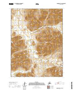
2020 · Goodnews Bay C-6 SE
USGS Topo · 1:25,000
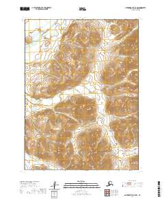
2020 · Goodnews Bay C-5 NW
USGS Topo · 1:25,000
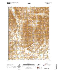
2020 · Goodnews Bay B-6 NE
USGS Topo · 1:25,000
2020 · Goodnews Bay B-5 NE
USGS Topo · 1:25,000