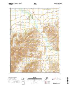
2017 Map of Goodnews Bay C-7 SW
USGS Topo · Published 2017About this map
The Arolik River dominates this southwestern Alaskan landscape, carving a wide valley floor through the mountainous interior of the Bethel Census Area. In the northern reaches of the sheet, the river passes through the Arolik Gap, a distinctive break in the topography between higher elevations. The terrain is defined by significant peaks such as North Yoke Mtn in the south and Yukon Hill to the west, with numerous drainage systems feeding the main river channel. These tributaries, including Boulder Cr, Minnesota Cr, and Faro Creek, create a complex network of seasonal and perennial waterways. This 2017 survey illustrates the remote and unaltered character of the region, where the natural hydrography of the Canyon Cr and Klak Cr systems remains the primary organizing force of the land.
Find a feature on this map
17 named features on this map. Tap any name to fly to it.
Don’t see what you’re looking for? This feature index may not catch every label — zoom into the map to look around manually.
Map Details
Editions of this 2017 Goodnews Bay C-7 SW Map
This is the sole edition of this map. No revisions or reprints were ever made.
Other maps of this area

1951 · Goodnews
USGS Topo · 1:250,000

1954 · Goodnews B-7
USGS Topo · 1:63,360

1954 · Goodnews B-8
USGS Topo · 1:63,360

1954 · Goodnews C-7
USGS Topo · 1:63,360
1954 · Goodnews C-8
USGS Topo · 1:63,360

1979 · Goodnews Bay
USGS Topo · 1:250,000
2017 · Goodnews Bay B-7 NE
USGS Topo · 1:25,000
2017 · Goodnews Bay B-7 NW
USGS Topo · 1:25,000
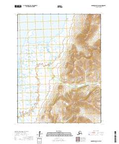
2017 · Goodnews Bay B-8 NE
USGS Topo · 1:25,000
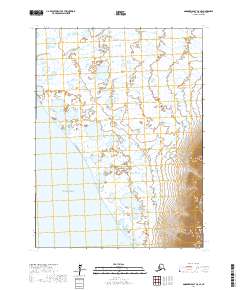
2017 · Goodnews Bay C-8 SE
USGS Topo · 1:25,000