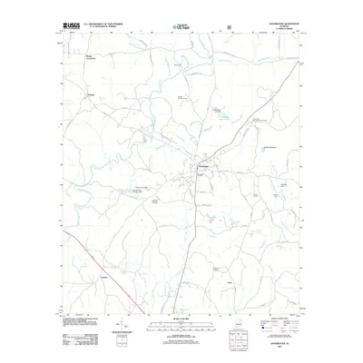
2011 Map of Goodwater
USGS Topo · Published 2011About this map
Goodwater serves as the central hub of this Alabama landscape, where the confluence of regional roads and the legacy of local industry are clearly visible. The town's layout is defined by its core street network, including Hackneyville St and Armory St, and is flanked by numerous burial grounds such as Goodwater Cemetery and Greenview Memorial Park Cemetery. These sites, along with the Old Marietta Cemetery to the south, provide a significant spatial record for genealogical research in this part of Coosa County.
Find a feature on this map
78 named features on this map. Tap any name to fly to it.
Don’t see what you’re looking for? This feature index may not catch every label — zoom into the map to look around manually.
Map Details
Editions of this 2011 Goodwater Map
This is the sole edition of this map. No revisions or reprints were ever made.
Other maps of this area

1890 · Talladega
USGS Topo · 1:125,000

1891 · Ashland
USGS Topo · 1:125,000

1892 · Talladega
USGS Topo · 1:125,000

1901 · Wetumpka
USGS Topo · 1:125,000

1903 · Wetumpka
USGS Topo · 1:125,000

1906 · Dadeville
USGS Topo · 1:125,000

1944 · Goodwater
USGS Topo · 1:62,500

1947 · Goodwater
USGS Topo · 1:62,500

1953 · Montgomery
USGS Topo · 1:250,000

1953 · Birmingham
USGS Topo · 1:250,000