
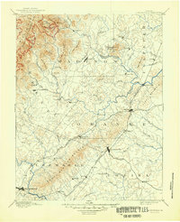
1892 Map of Gordonsville
USGS Topo · Published 1899About this map
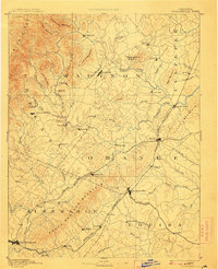
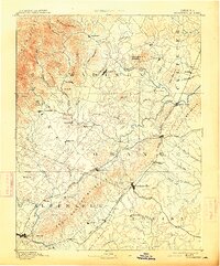
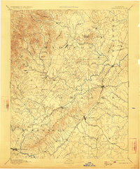
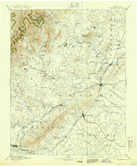
Gordonsville and Orange serve as critical junctions in the late nineteenth century, where the Virginia Midland Railroad and Chesapeake and Ohio Railroad converge. This transportation network links the piedmont agricultural lands to larger markets, anchored by the seat at Madison and the growing hub of Charlottesville to the southwest. The landscape is defined by the sharp rise of the Blue Ridge and the South Western Mountain range, which funnel travel through established gaps and river crossings.
Find a feature on this map
83 named features on this map. Tap any name to fly to it.
Don’t see what you’re looking for? This feature index may not catch every label — zoom into the map to look around manually.
Map Details
Editions of this 1892 Gordonsville Map
6 editions found
Other maps of this area

1887 · Spottsylvania
USGS Topo · 1:125,000

1890 · Goochland
USGS Topo · 1:125,000

1891 · Palmyra
USGS Topo · 1:125,000

1892 · Buckingham
USGS Topo · 1:125,000

1892 · Spottsylvania
USGS Topo · 1:125,000

1892 · Goochland
USGS Topo · 1:125,000

1892 · Woodstock
USGS Topo · 1:125,000

1892 · Harrisonburg
USGS Topo · 1:125,000

1893 · Luray
USGS Topo · 1:125,000

1894 · Warrenton
USGS Topo · 1:125,000