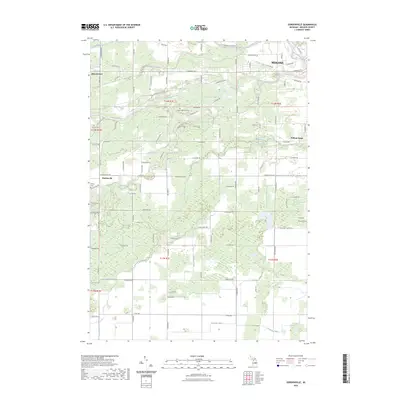
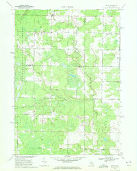
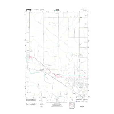
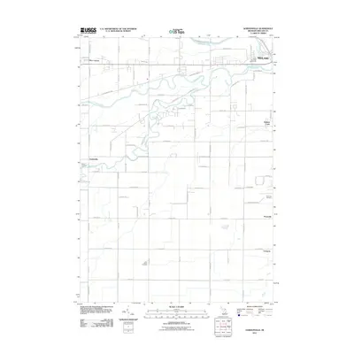
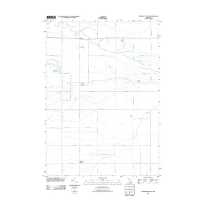
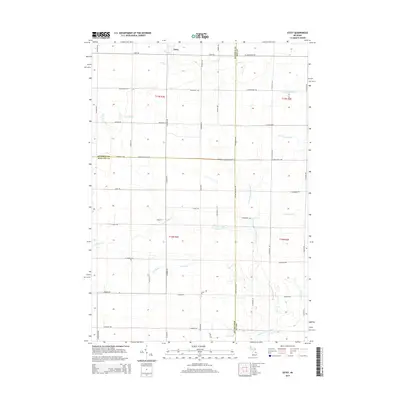
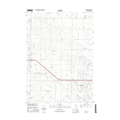
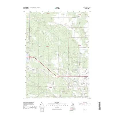
2023 Map of Gordonville
USGS Topo · Published 2023About this map
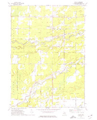
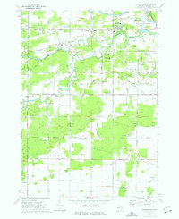
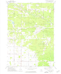
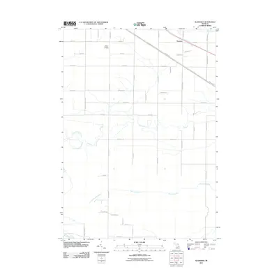
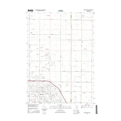
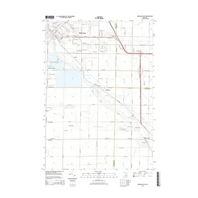
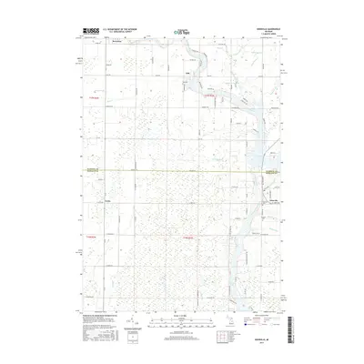
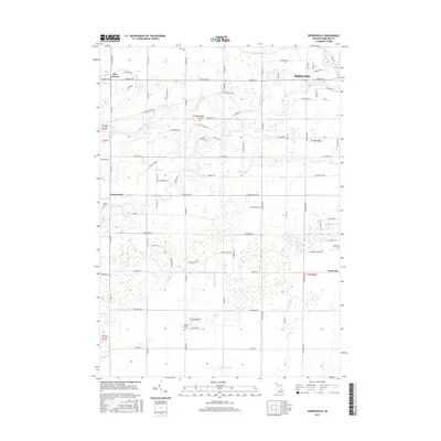
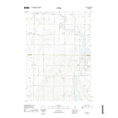
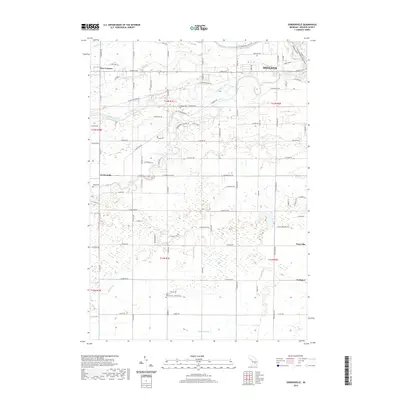
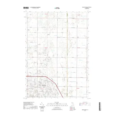
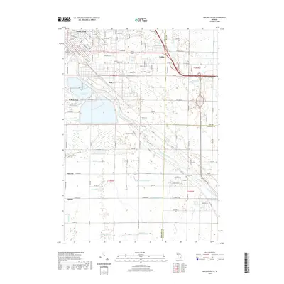
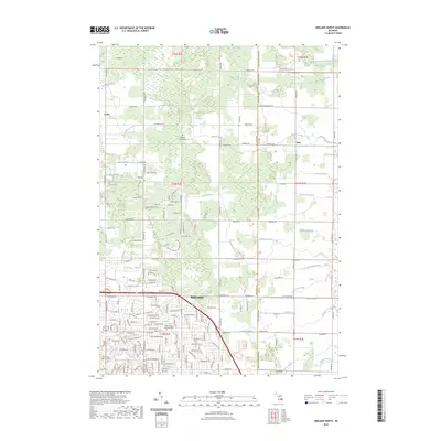
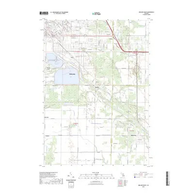
The Tittabawassee River and Chippewa River converge in the northeastern corner of this Midland County survey, marking the industrial and residential edge of Midland. Moving southwest from the city center, the landscape transitions into a complex network of agricultural drainage systems and small settlements, including Dice Corners and Gordonville. The presence of numerous named water management features, such as Knapp Drain, Dice Drain, and Franklin Drain, illustrates the intensive historical efforts to manage the low-lying terrain for farming and development.
Find a feature on this map
85 named features on this map. Tap any name to fly to it.
Don’t see what you’re looking for? This feature index may not catch every label — zoom into the map to look around manually.
Map Details
Editions of this 2023 Gordonville Map
This is the sole edition of this map. No revisions or reprints were ever made.
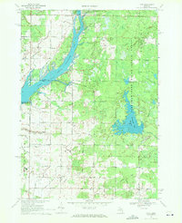
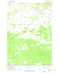
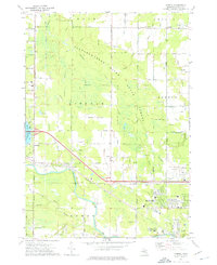
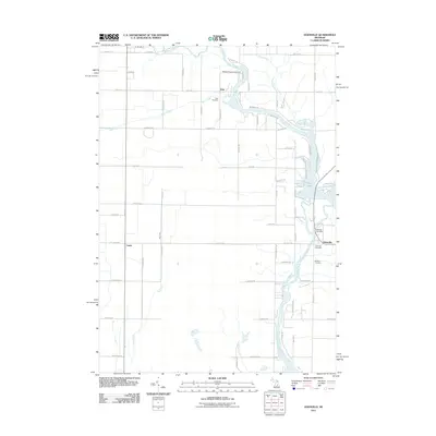
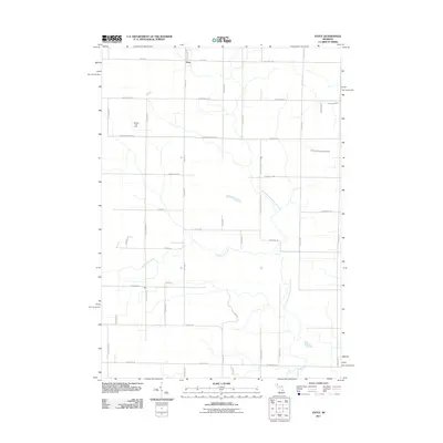
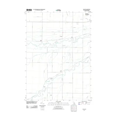
Historical Maps of Midland Through Time
60 maps found
1962 Midland North
Midland County, MI
1962 Midland South
Midland County, MI
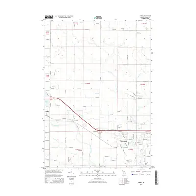
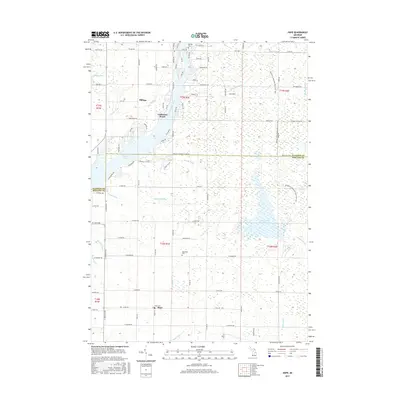
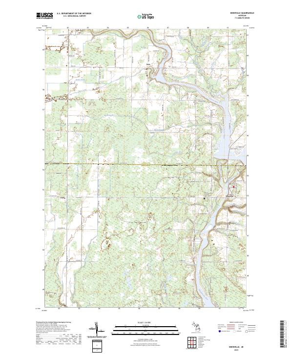
1969 Edenville
Midland County, MI
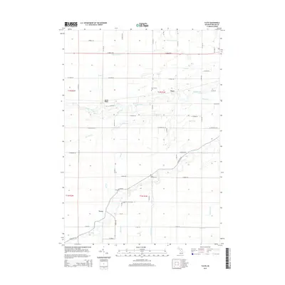
1969 Estey
Midland County, MI
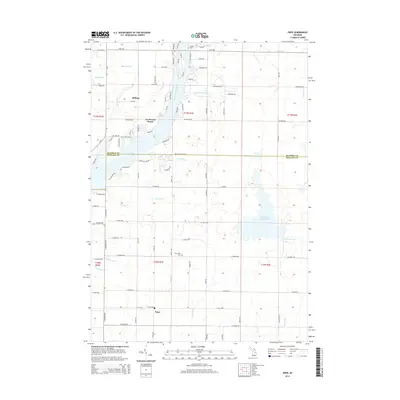
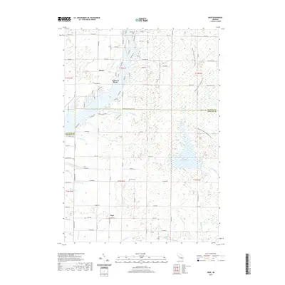
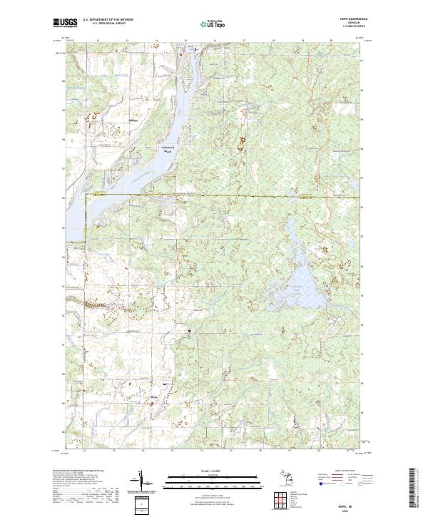
1969 Hope
Midland County, MI
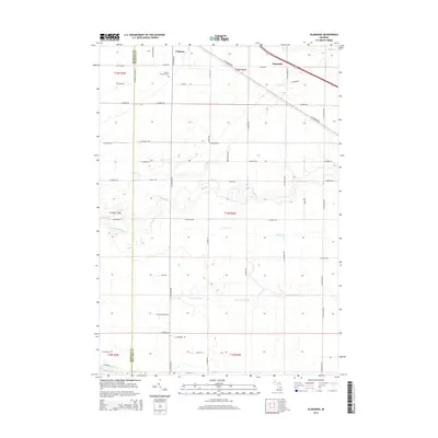
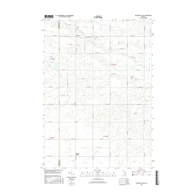
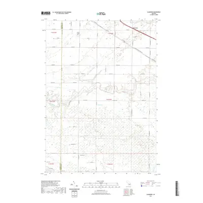
1973 Alamando
Midland County, MI
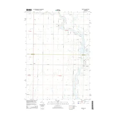
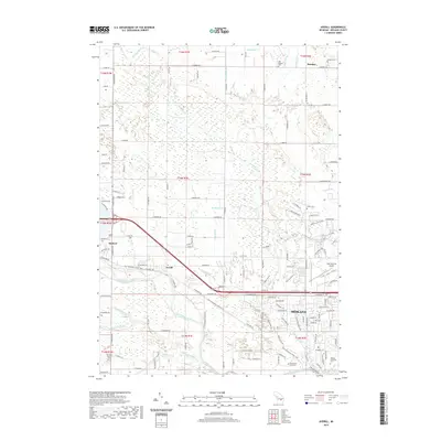
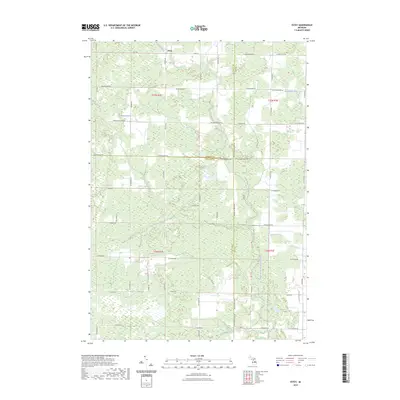
1973 Averill
Midland County, MI
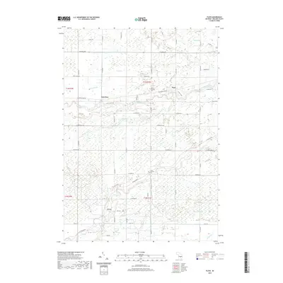
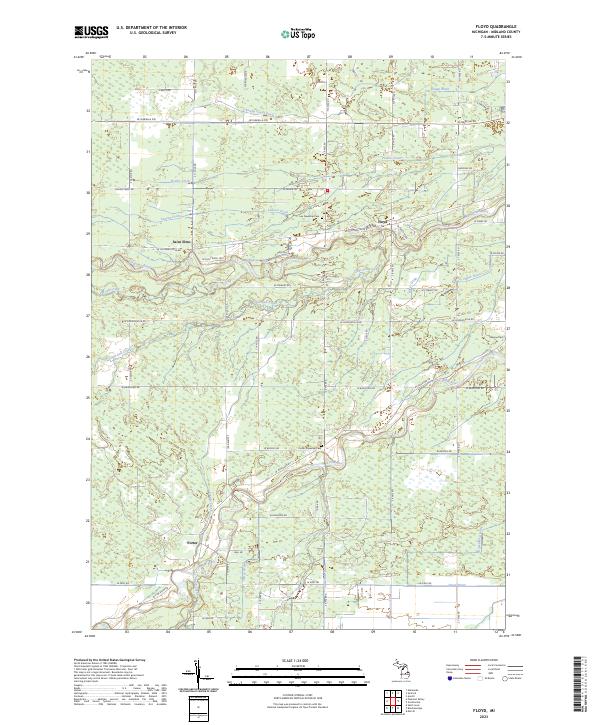
1973 Floyd
Midland County, MI
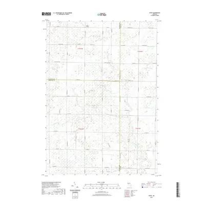
1973 Gordonville
Midland County, MI
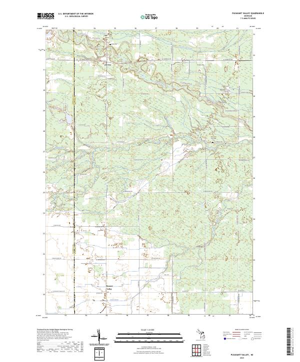
1973 Pleasant Valley
Midland County, MI
2011 Alamando
Midland County, MI
2011 Averill
Midland County, MI
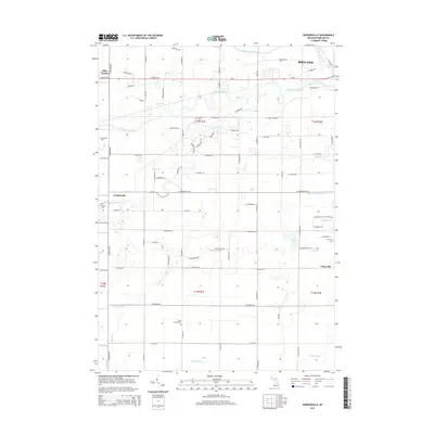
2011 Edenville
Midland County, MI
2011 Estey
Midland County, MI
2011 Floyd
Midland County, MI
2011 Gordonville
Midland County, MI
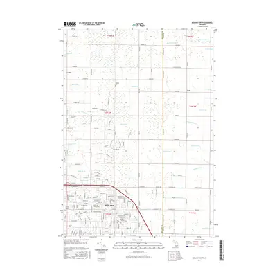
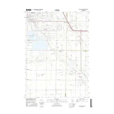
2011 Hope
Midland County, MI
2011 Midland North
Midland County, MI
2011 Midland South
Midland County, MI
2011 Pleasant Valley
Midland County, MI
2014 Alamando
Midland County, MI
2014 Averill
Midland County, MI
2014 Edenville
Midland County, MI
2014 Estey
Midland County, MI
2014 Floyd
Midland County, MI
2014 Gordonville
Midland County, MI
2014 Hope
Midland County, MI
2014 Midland North
Midland County, MI
2014 Midland South
Midland County, MI
2014 Pleasant Valley
Midland County, MI
2017 Alamando
Midland County, MI
2017 Averill
Midland County, MI
2017 Edenville
Midland County, MI
2017 Estey
Midland County, MI
2017 Floyd
Midland County, MI
2017 Gordonville
Midland County, MI
2017 Hope
Midland County, MI
2017 Midland North
Midland County, MI
2017 Midland South
Midland County, MI
2017 Pleasant Valley
Midland County, MI
2019 Alamando
Midland County, MI
2019 Averill
Midland County, MI
2019 Edenville
Midland County, MI
2019 Estey
Midland County, MI
2019 Floyd
Midland County, MI
2019 Gordonville
Midland County, MI
2019 Hope
Midland County, MI
2019 Midland North
Midland County, MI
2019 Midland South
Midland County, MI
2019 Pleasant Valley
Midland County, MI
2023 Alamando
Midland County, MI
2023 Averill
Midland County, MI
2023 Edenville
Midland County, MI
2023 Estey
Midland County, MI
2023 Floyd
Midland County, MI
2023 Gordonville
Midland County, MI
2023 Hope
Midland County, MI
2023 Midland North
Midland County, MI
2023 Midland South
Midland County, MI
2023 Pleasant Valley
Midland County, MI