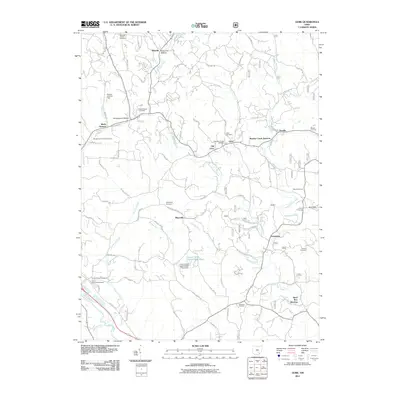
2011 Map of Gore
USGS Topo · Published 2011About this map
Lime Kiln Hollow and Temperance Hollow define the northern drainages of this Hocking County landscape, where the rural character is anchored by numerous family-named landmarks and rural burial grounds. The settlement pattern is dominated by small communities like Gore, Maxville, and Greendale, which are linked by a network of local roads such as the Maysville Greendale Rd. Near the center of the sheet, the Central Ohio Council BSA Pond provides a significant water feature amidst the complex topography of Little Monday Creek and its many tributaries.
Find a feature on this map
85 named features on this map. Tap any name to fly to it.
Don’t see what you’re looking for? This feature index may not catch every label — zoom into the map to look around manually.
Map Details
Editions of this 2011 Gore Map
This is the sole edition of this map. No revisions or reprints were ever made.
Other maps of this area

1903 · Athens
USGS Topo · 1:62,500

1904 · Zaleski
USGS Topo · 1:62,500

1905 · Athens
USGS Topo · 1:62,500

1907 · Zaleski
USGS Topo · 1:62,500

1907 · Logan
USGS Topo · 1:62,500

1909 · Logan
USGS Topo · 1:62,500

1911 · New Lexington
USGS Topo · 1:62,500

1947 · Columbus
USGS Topo · 1:250,000

1961 · Columbus
USGS Topo · 1:250,000

1961 · Nelsonville
USGS Topo · 1:24,000