
1961 Map of Nelsonville
USGS Topo · Published 1962About this map
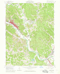
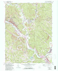
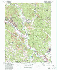
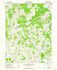
Industrial activity along the Hocking River valley defines this landscape in the early 1960s, where the extraction economy is clearly visible through numerous Strip Mine operations and a network of heavy rail. The Chesapeake and Ohio and New York Central railroads parallel the river, serving established communities like Nelsonville and Buchtel. This era shows a transition in the local landscape as the Wayne National Forest begins to reclaim the surrounding ridges.
Find a feature on this map
62 named features on this map. Tap any name to fly to it.
Don’t see what you’re looking for? This feature index may not catch every label — zoom into the map to look around manually.
Map Details
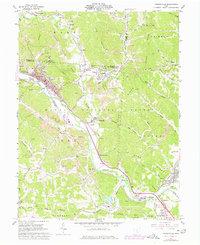
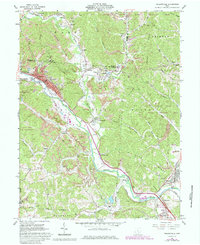
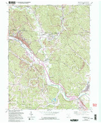
Editions of this 1961 Nelsonville Map
7 editions found
Other maps of this area

1903 · Athens
USGS Topo · 1:62,500

1904 · Zaleski
USGS Topo · 1:62,500

1905 · Athens
USGS Topo · 1:62,500

1907 · Zaleski
USGS Topo · 1:62,500

1907 · Logan
USGS Topo · 1:62,500

1909 · Logan
USGS Topo · 1:62,500

1911 · New Lexington
USGS Topo · 1:62,500

1947 · Columbus
USGS Topo · 1:250,000

1961 · Columbus
USGS Topo · 1:250,000
1961 · The Plains
USGS Topo · 1:24,000