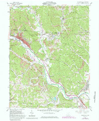
1961 Map of Nelsonville
USGS Topo · Published 1985About this map
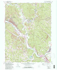
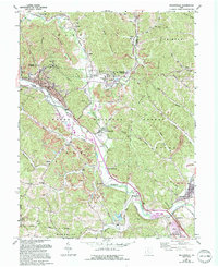
Nelsonville serves as the industrial and civic heart of this landscape, where the Hocking River valley meets the coal-rich ridges of the Wayne National Forest. The map documents a geography defined by extraction and manufacturing, from the numerous strip mines dotting the hillsides to the brick kilns and tipple operations that supported the local economy. Small company towns and settlements like Buchtel, Orbiston, and Kimberly follow the winding paths of Monday Creek and Snow Fork, connected by the Conrail rail lines that moved the region's resources.
Find a feature on this map
76 named features on this map. Tap any name to fly to it.
Don’t see what you’re looking for? This feature index may not catch every label — zoom into the map to look around manually.
Map Details
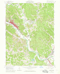
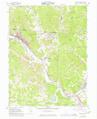
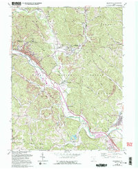
Editions of this 1961 Nelsonville Map
7 editions found
Other maps of this area

1903 · Athens
USGS Topo · 1:62,500

1904 · Zaleski
USGS Topo · 1:62,500

1905 · Athens
USGS Topo · 1:62,500

1907 · Zaleski
USGS Topo · 1:62,500

1907 · Logan
USGS Topo · 1:62,500

1909 · Logan
USGS Topo · 1:62,500

1911 · New Lexington
USGS Topo · 1:62,500

1947 · Columbus
USGS Topo · 1:250,000

1961 · Columbus
USGS Topo · 1:250,000

1961 · Nelsonville
USGS Topo · 1:24,000