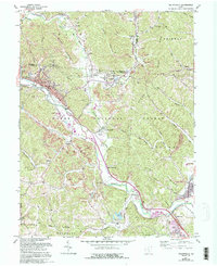
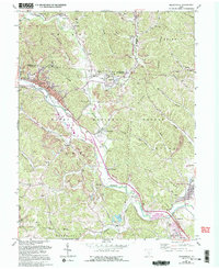
1961 Map of Nelsonville
USGS Topo · Published 1995About this map
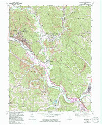
The industrial coal and clay legacy of Athens and Hocking counties is etched across the landscape of Nelsonville, shown here with its Brick Kilns and extensive network of Strip Mines. The Hocking River corridor serves as the primary artery for both transportation and settlement, connecting towns like Chauncey and Buchtel via rail lines and highways. Cultural landmarks are scattered throughout the Wayne National Forest, including the Indian Mound near The Plains and numerous rural houses of worship such as Pilgrims Rest Ch and Dew Cem Ch. This map reveals the transition of the region's economy, where active mining operations coexist with established infrastructure like Mt St Marys Hospital and the Powerplant at Hamley Run. Genealogists will find significant value in the many named burial grounds, ranging from the large Greenlawn Cemetery to smaller sites like Pedigo Cem and Whitmore Cem.
Find a feature on this map
77 named features on this map. Tap any name to fly to it.
Don’t see what you’re looking for? This feature index may not catch every label — zoom into the map to look around manually.
Map Details
Editions of this 1961 Nelsonville Map
7 editions found
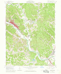
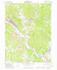
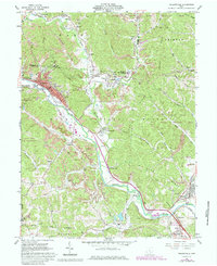
Other maps of this area

1903 · Athens
USGS Topo · 1:62,500

1904 · Zaleski
USGS Topo · 1:62,500

1905 · Athens
USGS Topo · 1:62,500

1907 · Zaleski
USGS Topo · 1:62,500

1907 · Logan
USGS Topo · 1:62,500

1909 · Logan
USGS Topo · 1:62,500

1911 · New Lexington
USGS Topo · 1:62,500

1947 · Columbus
USGS Topo · 1:250,000

1961 · Columbus
USGS Topo · 1:250,000

1961 · Nelsonville
USGS Topo · 1:24,000