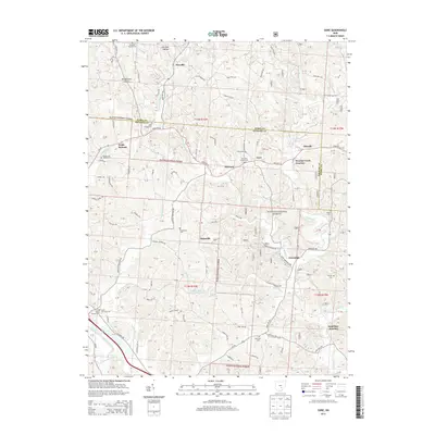
2013 Map of Gore
USGS Topo · Published 2013About this map
Wayne National Forest land dominates this section of the Hocking Valley, where the boundary between Perry and Hocking Counties cuts across a landscape defined by deep hollows and narrow ridges. Settlement patterns follow the creek beds and ridges, with Maxville in the north and the sister communities of Gore and Old Gore situated along the central corridor. The topographic record shows a heavy concentration of small family and community burial grounds, such as the Rhodes and Huddle Cem and Webb Chapel Cem, which offer significant data for genealogical research in this rural region.
Find a feature on this map
129 named features on this map. Tap any name to fly to it.
Don’t see what you’re looking for? This feature index may not catch every label — zoom into the map to look around manually.
Map Details
Editions of this 2013 Gore Map
This is the sole edition of this map. No revisions or reprints were ever made.
Other maps of this area

1903 · Athens
USGS Topo · 1:62,500

1904 · Zaleski
USGS Topo · 1:62,500

1905 · Athens
USGS Topo · 1:62,500

1907 · Zaleski
USGS Topo · 1:62,500

1907 · Logan
USGS Topo · 1:62,500

1909 · Logan
USGS Topo · 1:62,500

1911 · New Lexington
USGS Topo · 1:62,500

1947 · Columbus
USGS Topo · 1:250,000

1961 · Columbus
USGS Topo · 1:250,000

1961 · Nelsonville
USGS Topo · 1:24,000