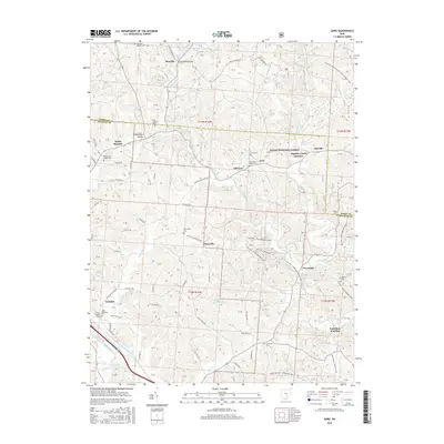
2016 Map of Gore
USGS Topo · Published 2016About this map
The Hocking River and its numerous tributaries, including Little Monday Cr and Threemile Cr, define the drainage and settlement patterns along the Hocking and Perry County line. Small rural hamlets like Gore, Maxville, and Maysville are scattered across the landscape, connected by a network of township roads and historical junctions such as Monday Creek Junction and Sand Run Junction. This area is characterized by a high concentration of country churches and cemeteries, such as Webb Chapel Cem, Otterbein Chapel Cem, and Ebenezer Baptist Cem, which offer significant value for genealogical research. Much of the eastern portion of the map is encompassed by the Wayne National Forest, featuring a dense system of modern recreational trails like the MC OHV - Kacklemacker Loop and the N Country National Scenic Trail (Buckeye Trail), which follow the ridgelines and valleys carved by centuries of erosion.
Find a feature on this map
77 named features on this map. Tap any name to fly to it.
Don’t see what you’re looking for? This feature index may not catch every label — zoom into the map to look around manually.
Map Details
Editions of this 2016 Gore Map
This is the sole edition of this map. No revisions or reprints were ever made.
Other maps of this area

1903 · Athens
USGS Topo · 1:62,500

1904 · Zaleski
USGS Topo · 1:62,500

1905 · Athens
USGS Topo · 1:62,500

1907 · Zaleski
USGS Topo · 1:62,500

1907 · Logan
USGS Topo · 1:62,500

1909 · Logan
USGS Topo · 1:62,500

1911 · New Lexington
USGS Topo · 1:62,500

1947 · Columbus
USGS Topo · 1:250,000

1961 · Columbus
USGS Topo · 1:250,000

1961 · Nelsonville
USGS Topo · 1:24,000