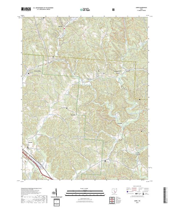
2023 Map of Gore
USGS Topo · Published 2023About this map
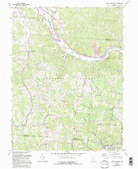
Wayne National Forest dominates the topography of this corner of Hocking County, where the hills are carved by the intricate drainage systems of Monday Creek and Threemile Creek. The landscape is a patchwork of small communities and rural family history, anchored by the settlements of Maxville, Gore, and Maysville. Numerous historic burial grounds like Webb Chapel Cem, Ebenezer Baptist Cem, and the Rhodes and Huddle Cem are scattered across the ridges, providing vital landmarks for genealogical research in this part of Ohio.
Find a feature on this map
67 named features on this map. Tap any name to fly to it.
Don’t see what you’re looking for? This feature index may not catch every label — zoom into the map to look around manually.
Map Details
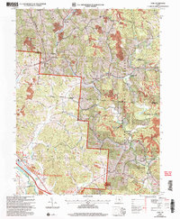
Editions of this 2023 Gore Map
This is the sole edition of this map. No revisions or reprints were ever made.
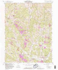
Historical Maps of Old Gore Through Time
14 maps found
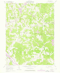
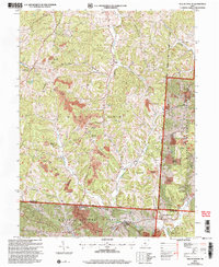
1961 Gore
Hocking County, OH
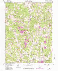
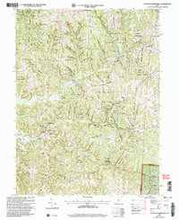
1961 New Plymouth
Hocking County, OH
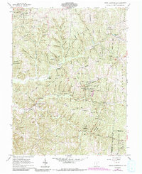
1961 South Bloomingville
Hocking County, OH
1961 Union Furnace
Hocking County, OH
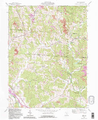
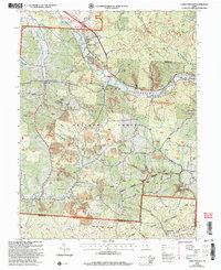
1992 Gore
Hocking County, OH
1992 New Plymouth
Hocking County, OH
2002 Gore
Hocking County, OH
2002 New Plymouth
Hocking County, OH
2002 South Bloomingville
Hocking County, OH
2002 Union Furnace
Hocking County, OH
2023 Gore
Hocking County, OH
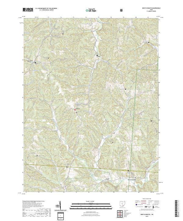
2023 New Plymouth
Hocking County, OH
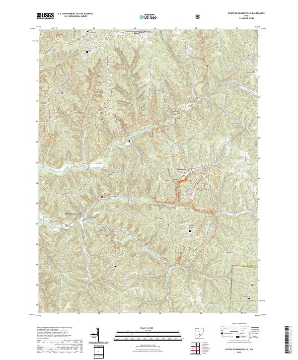
2023 South Bloomingville
Hocking County, OH
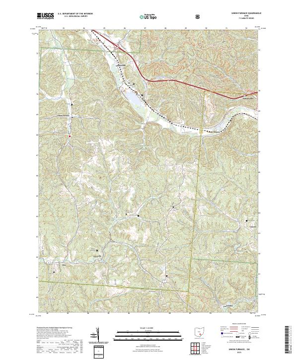
2023 Union Furnace
Hocking County, OH