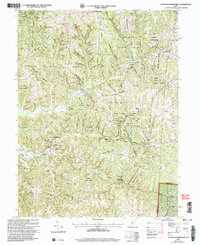
2002 Map of South Bloomingville
USGS Topo · Published 2006About this map
Queer Creek and Salt Creek converge at the small settlement of South Bloomingville, a central point in this landscape of deep hollows and high ridges. The area is defined by the intersection of extensive public lands, including the Hocking Hills State Park and Hocking State Forest, where notable landmarks like Rock House Lookout and Ash Cave Lookout stand. Genealogical interest is high throughout these townships, with several family and church burial grounds such as Old Baptist Cem and Liberty Hill Ch Cem tucked into the terrain.
Find a feature on this map
83 named features on this map. Tap any name to fly to it.
Don’t see what you’re looking for? This feature index may not catch every label — zoom into the map to look around manually.
Map Details
Editions of this 2002 South Bloomingville Map
This is the sole edition of this map. No revisions or reprints were ever made.
Other maps of this area

1904 · Zaleski
USGS Topo · 1:62,500

1907 · Zaleski
USGS Topo · 1:62,500

1907 · Logan
USGS Topo · 1:62,500

1907 · Lancaster
USGS Topo · 1:62,500

1909 · Lancaster
USGS Topo · 1:62,500

1909 · Logan
USGS Topo · 1:62,500

1910 · Laurelville
USGS Topo · 1:62,500

1912 · Laurelville
USGS Topo · 1:62,500

1944 · Laurelville
USGS Topo · 1:62,500

1947 · Columbus
USGS Topo · 1:250,000