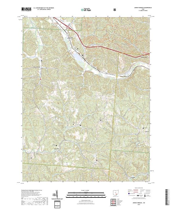
2023 Map of Union Furnace
USGS Topo · Published 2023About this map
Haydenville and the winding Hocking River anchor this topographic view of the Hocking Valley, where the borders of Hocking, Athens, and Vinton counties converge. Much of the landscape is defined by the Wayne National Forest, an area characterized by deep drainage networks and prominent ridges such as Zion Ridge and Asbury Ridge. The settlement pattern follows the narrow valley floors and historic road corridors, connecting smaller communities like Coonville and Starr.
Find a feature on this map
55 named features on this map. Tap any name to fly to it.
Don’t see what you’re looking for? This feature index may not catch every label — zoom into the map to look around manually.
Map Details
Editions of this 2023 Union Furnace Map
This is the sole edition of this map. No revisions or reprints were ever made.
Other maps of this area

1903 · Athens
USGS Topo · 1:62,500

1904 · Zaleski
USGS Topo · 1:62,500

1905 · Athens
USGS Topo · 1:62,500

1907 · Zaleski
USGS Topo · 1:62,500

1907 · Logan
USGS Topo · 1:62,500

1909 · Logan
USGS Topo · 1:62,500

1911 · New Lexington
USGS Topo · 1:62,500

1947 · Columbus
USGS Topo · 1:250,000

1961 · Columbus
USGS Topo · 1:250,000

1961 · Nelsonville
USGS Topo · 1:24,000