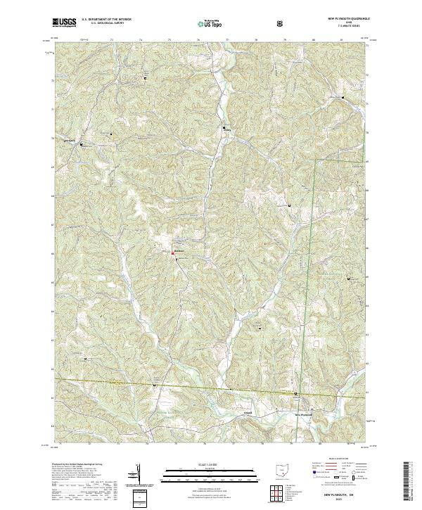
2023 Map of New Plymouth
USGS Topo · Published 2023About this map
New Plymouth and the surrounding township lands of Hocking and Vinton counties are defined by a dense network of upland ridges and creek valleys. The settlement pattern follows these natural corridors, with small communities like Ilesboro, Ewing, and Orland linked by a complex web of rural routes such as Cane Rd and Zeigler Rd. This 2023 survey illustrates how much of the local social history remains anchored to the landscape through its numerous burial grounds, including Morris Chapel Cem, Fairview Cem, and the Olive Branch Cem. The drainage systems, led by the West Branch Raccoon Creek and Honey Fork, carve deep into the terrain, creating named features like Metz Hollow and Harble Ridge that have likely dictated land use and property boundaries for generations. It is a portrait of a persistent rural landscape where small-scale water bodies like Hidden Lake and quiet crossroads remain the primary landmarks.
Find a feature on this map
104 named features on this map. Tap any name to fly to it.
Don’t see what you’re looking for? This feature index may not catch every label — zoom into the map to look around manually.
Map Details
Editions of this 2023 New Plymouth Map
This is the sole edition of this map. No revisions or reprints were ever made.
Other maps of this area

1904 · Zaleski
USGS Topo · 1:62,500

1907 · Zaleski
USGS Topo · 1:62,500

1907 · Logan
USGS Topo · 1:62,500

1907 · Lancaster
USGS Topo · 1:62,500

1909 · Lancaster
USGS Topo · 1:62,500

1909 · Logan
USGS Topo · 1:62,500

1910 · Laurelville
USGS Topo · 1:62,500

1912 · Laurelville
USGS Topo · 1:62,500

1944 · Laurelville
USGS Topo · 1:62,500

1947 · Columbus
USGS Topo · 1:250,000