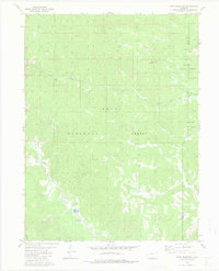
1980 Map of Gore Mountain
USGS Topo · Published 1983About this map
Gore Mountain dominates the high-altitude landscape of northern Colorado at the convergence of the Routt National Forest and Arapaho National Forest. This 1980 survey reveals a wilderness defined by a complex drainage system, where the South Fork Rock Creek and Tepee Creek feed into the larger Rock Creek basin. The map illustrates the fundamental role of seasonal waterways and springs in this environment, marking numerous Springs that sustain the local ecosystem.
Find a feature on this map
14 named features on this map. Tap any name to fly to it.
Don’t see what you’re looking for? This feature index may not catch every label — zoom into the map to look around manually.
Map Details
Editions of this 1980 Gore Mountain Map
2 editions found
Other maps of this area

1954 · Craig
USGS Topo · 1:250,000

1956 · Lake Agnes
USGS Topo · 1:24,000

1956 · Walton Peak
USGS Topo · 1:24,000

1956 · Gore Pass
USGS Topo · 1:62,500

1956 · Rabbit Ears Peak
USGS Topo · 1:62,500

1957 · Craig
USGS Topo · 1:250,000

1958 · Craig
USGS Topo · 1:250,000

1960 · Craig
USGS Topo · 1:250,000

1962 · Craig
USGS Topo · 1:250,000

1964 · Craig
USGS Topo · 1:250,000