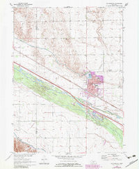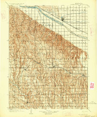
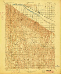
1902 Map of Gothenburg
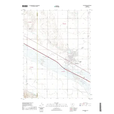
USGS Topo · Published 1927About this map
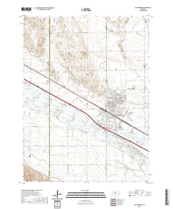
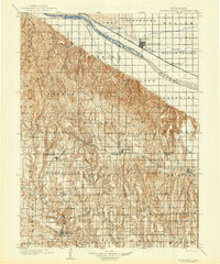
The Platte River valley dominates the northern landscape of this region at the turn of the century, serving as the primary corridor for both water and rail transportation. The Union Pacific Main Line follows the river's northern bank through settlements like Gothenburg, Brady Island, and Willow Island, while the Gothenburg Canal and Cozad Canal divert water for agricultural use. To the south, the topography shifts into a complex network of drainage systems and canyons, such as Cottonwood Canyon and Midway Canyon, which define the frontier character of Dawson and Lincoln counties.
Find a feature on this map
53 named features on this map. Tap any name to fly to it.
Don’t see what you’re looking for? This feature index may not catch every label — zoom into the map to look around manually.
Map Details
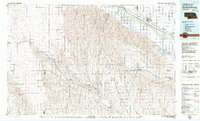
Editions of this 1902 Gothenburg Map
3 editions found
Historical Maps of Cozad Through Time
7 maps found