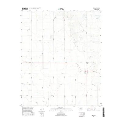
2016 Map of Gould
USGS Topo · Published 2016About this map
Gould serves as the primary hub of this Harmon County landscape, situated where the grid of rural roads meets the residential blocks of Grove St and College Ave. The town is flanked by historic burial grounds, including Gould Cem to the northeast and Dryden Cem further north along N1760 Rd, providing clear markers for genealogical research in this part of Oklahoma. The terrain is defined by the drainage of Sandy Cr, with its E Fork Sandy Cr and W Fork Sandy Cr carving subtle paths through the prairie toward Star Valley. Water management in this agricultural region is represented by significant impoundments like Club Lake and the Tri-County Turkey Cr Site 3 Reservoir in the far northeast corner, highlighting the reliance on local reservoirs for the surrounding farms and ranchland.
Find a feature on this map
31 named features on this map. Tap any name to fly to it.
Don’t see what you’re looking for? This feature index may not catch every label — zoom into the map to look around manually.
Map Details
Editions of this 2016 Gould Map
This is the sole edition of this map. No revisions or reprints were ever made.
Other maps of this area

1955 · Lawton
USGS Topo · 1:250,000
1961 · Hollis
USGS Topo · 1:62,500
1971 · Russell
USGS Topo · 1:24,000
1971 · Mc Knight
USGS Topo · 1:24,000
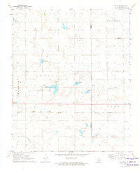
1971 · Mc Queen
USGS Topo · 1:24,000
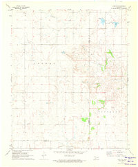
1971 · Duke SW
USGS Topo · 1:24,000
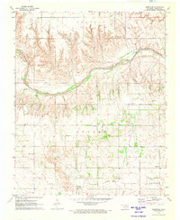
1971 · Shrewder
USGS Topo · 1:24,000
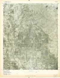
1975 · Hollis NE
USGS Topo · 1:24,000
1975 · Hollis SE
USGS Topo · 1:24,000
1975 · Hollis NW
USGS Topo · 1:24,000