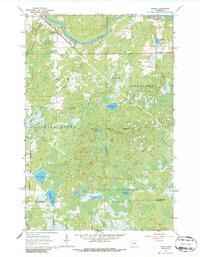
1963 Map of Gowan
USGS Topo · Published 1986About this map
The St Louis River winds through the northern portion of this map, defining the landscape near the small settlements of Gowan (Mirbat Sta) and Paupores. This area of northern Minnesota is characterized by extensive wetlands and dense forests, much of which is preserved within the Fond Du Lac State Forest and the Arrowhead State Forest Boundary. The Great Northern railroad parallels the river, providing a critical transport link through the marshy terrain of the Fine Lakes region.
Find a feature on this map
20 named features on this map. Tap any name to fly to it.
Don’t see what you’re looking for? This feature index may not catch every label — zoom into the map to look around manually.
Map Details
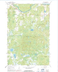
Editions of this 1963 Gowan Map
3 editions found
Other maps of this area

1953 · Brookston NW
USGS Topo · 1:24,000

1953 · Duluth
USGS Topo · 1:250,000

1954 · Sawyer
USGS Topo · 1:24,000

1954 · Martin Lake
USGS Topo · 1:24,000

1956 · Barnum
USGS Topo · 1:62,500

1958 · Duluth
USGS Topo · 1:250,000

1961 · Cromwell
USGS Topo · 1:62,500

1963 · Gowan
USGS Topo · 1:24,000

1963 · Prairie Lake
USGS Topo · 1:24,000
1963 · Mc Carty River
USGS Topo · 1:24,000