
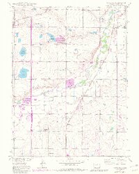
1949 Map of Gowanda
USGS Topo · Published 1957About this map
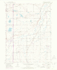
Agricultural life in Weld County is centered around a network of small settlements and local schools in this late 1940s topography. The landscape is defined by its complex irrigation system, featuring the Last Chance Ditch, Seep Drainage Ditch, and Lupton Bottom Ditch, which support the farms surrounding Mead and Gowanda. Social and educational hubs are clearly marked, including the Rinn Valley Grange, Stone School, and Dailey School, while the Pearl Howlett School (Aban'd) already reflects the changing demographics of the era.
Find a feature on this map
23 named features on this map. Tap any name to fly to it.
Don’t see what you’re looking for? This feature index may not catch every label — zoom into the map to look around manually.
Map Details
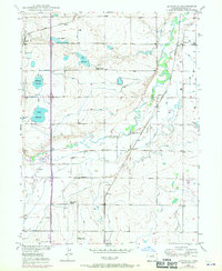
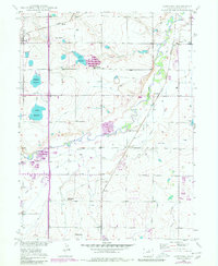
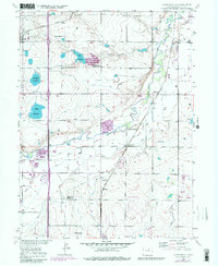
Editions of this 1949 Gowanda Map
6 editions found
Other maps of this area

1902 · Greeley
USGS Topo · 1:125,000

1904 · Niwot
USGS Topo · 1:62,500

1906 · Loveland
USGS Topo · 1:62,500

1908 · Loveland
USGS Topo · 1:62,500

1949 · Fort Lupton
USGS Topo · 1:24,000

1949 · Platteville
USGS Topo · 1:24,000

1950 · Frederick
USGS Topo · 1:24,000

1950 · Gowanda
USGS Topo · 1:24,000

1950 · Platteville
USGS Topo · 1:24,000
1950 · Fort Lupton
USGS Topo · 1:24,000