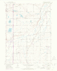
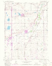
1949 Map of Gowanda
USGS Topo · Published 1970About this map
Mead and Gowanda anchor this landscape of the High Plains, where agricultural life is deeply intertwined with a sophisticated network of water management. The presence of numerous irrigation features like Mulligan Reservoir, Foster Reservoir, and the Last Chance Drainage reflects the critical role of water rights in this semi-arid region. Education and community hubs are well-documented, including the Pearl Howlett School, St Vrain Sch, and the Rinn Valley Grange, providing valuable location data for genealogists tracing farmstead families.
Find a feature on this map
21 named features on this map. Tap any name to fly to it.
Don’t see what you’re looking for? This feature index may not catch every label — zoom into the map to look around manually.
Map Details
Editions of this 1949 Gowanda Map
6 editions found
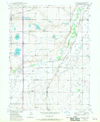
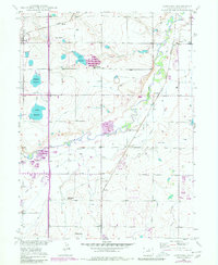
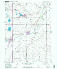
Other maps of this area

1902 · Greeley
USGS Topo · 1:125,000

1904 · Niwot
USGS Topo · 1:62,500

1906 · Loveland
USGS Topo · 1:62,500

1908 · Loveland
USGS Topo · 1:62,500

1949 · Gowanda
USGS Topo · 1:24,000

1949 · Fort Lupton
USGS Topo · 1:24,000

1949 · Platteville
USGS Topo · 1:24,000

1950 · Frederick
USGS Topo · 1:24,000

1950 · Gowanda
USGS Topo · 1:24,000

1950 · Platteville
USGS Topo · 1:24,000