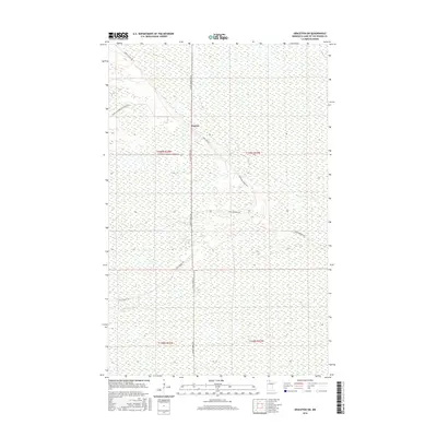
2016 Map of Graceton SW
USGS Topo · Published 2016About this map
Faunce is the central hub of this remote northern landscape, situated at the intersection of several critical forest corridors. The settlement serves as a navigational anchor within a vast wetland complex that dominates the area, characterized by the dense grid of the Public Land Survey System. The infrastructure of the region is defined by an extensive network of forestry routes, including the prominent north-south Faunce Forest Rd and the diagonally oriented Santa Ana Rd. These roads and trails, such as Stony Corners Trl and Spina Forest Trl, suggest a landscape primarily utilized for timber management and outdoor recreation. The map's topography is notably flat, with subtle elevation changes indicated by five-foot contours, reflecting the transition into the expansive peatlands typical of this part of Minnesota.
Find a feature on this map
14 named features on this map. Tap any name to fly to it.
Don’t see what you’re looking for? This feature index may not catch every label — zoom into the map to look around manually.
Map Details
Editions of this 2016 Graceton SW Map
This is the sole edition of this map. No revisions or reprints were ever made.
Other maps of this area

1918 · Winterroad
USGS Topo · 1:62,500

1918 · F
USGS Topo · 1:62,500

1919 · Peppermint Creek
USGS Topo · 1:62,500

1919 · G
USGS Topo · 1:62,500

1943 · Peppermint Creek
USGS Topo · 1:62,500

1954 · Roseau
USGS Topo · 1:250,000

1957 · Roseau
USGS Topo · 1:250,000

1958 · Roseau
USGS Topo · 1:250,000
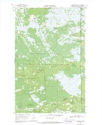
1968 · Graceton SE
USGS Topo · 1:24,000
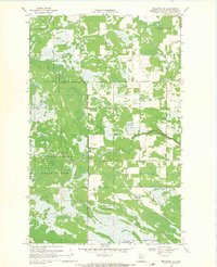
1968 · Graceton NW
USGS Topo · 1:24,000