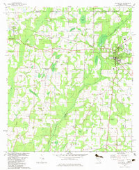
1982 Map of Graceville
USGS Topo · Published 1983About this map
Graceville and Noma anchor this landscape along the Alabama-Florida border, where a complex network of agriculture and rail transport defined the local economy during the late twentieth century. Two major rail lines intersect the terrain, with the Atlantic and Saint Andrews Bay and the Louisville and Nashville railroads connecting smaller hubs like Noma Junction and Tendil Crossing. The rural character is reinforced by several community-centric landmarks such as Cem Liberty Hill Ch, Damascus Ch, and Poplar Springs Sch.
Find a feature on this map
67 named features on this map. Tap any name to fly to it.
Don’t see what you’re looking for? This feature index may not catch every label — zoom into the map to look around manually.
Map Details
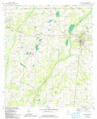
Editions of this 1982 Graceville Map
2 editions found
Other maps of this area

1942 · Enterprise
USGS Topo · 1:125,000

1950 · Chipley
USGS Topo · 1:24,000

1950 · Esto
USGS Topo · 1:24,000

1951 · Graceville
USGS Topo · 1:24,000

1951 · Esto
USGS Topo · 1:24,000

1951 · Chipley
USGS Topo · 1:24,000

1951 · Bonifay
USGS Topo · 1:24,000

1952 · Campbellton
USGS Topo · 1:24,000

1952 · Cottondale West
USGS Topo · 1:24,000

1953 · Dothan
USGS Topo · 1:250,000