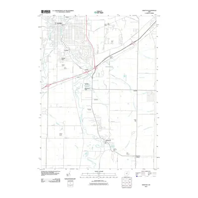
2010 Map of Grafton
USGS Topo · Published 2010About this map
The East Branch Black River winds through the heart of Lorain County, anchoring the settlements of Grafton and Elyria as they appeared in the early 21st century. This landscape is defined by a dense network of water management features, including the Grafton Reservoir and numerous drainage channels such as Hill Spaulding Ditch and Bannister Ditch, which support the surrounding agricultural and developed land. Small residential clusters and neighborhoods like Coonville, Laporte, and Colonial Oaks are interspersed among larger facilities like the Grafton State Farm. Several historic burial grounds, including Saint Marys Cemetery and Butternut Ridge Cemetery, provide vital points of reference for genealogists tracing family roots in this part of Ohio. The proximity of Elyria Airport and Wilsons Private Airport reflects the area's continued integration of aviation and local industry.
Find a feature on this map
70 named features on this map. Tap any name to fly to it.
Don’t see what you’re looking for? This feature index may not catch every label — zoom into the map to look around manually.
Map Details
Editions of this 2010 Grafton Map
This is the sole edition of this map. No revisions or reprints were ever made.
Other maps of this area

1901 · Oberlin
USGS Topo · 1:62,500

1902 · Berea
USGS Topo · 1:62,500

1903 · Oberlin
USGS Topo · 1:62,500

1904 · Berea
USGS Topo · 1:62,500

1904 · Medina
USGS Topo · 1:62,500

1904 · Wellington
USGS Topo · 1:62,500

1906 · Medina
USGS Topo · 1:62,500

1906 · Wellington
USGS Topo · 1:62,500

1950 · Cleveland
USGS Topo · 1:250,000

1953 · West View
USGS Topo · 1:24,000