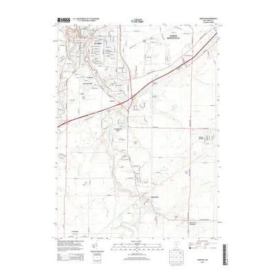
2013 Map of Grafton
USGS Topo · Published 2013About this map
The East Branch Black River and West Branch Black River converge toward the northern reaches of this Lorain County landscape, framing a transition from the urban grid of Elyria to the agricultural expanses of Grafton. The map documents a complex drainage system essential to the local valley, featuring numerous named waterways like Bannister Ditch, Robson Ditch, and Hill Spaulding Ditch. These ditches underscore the region's managed landscape, supporting both farming and the residential growth seen in communities like Eaton Estates and Colonial Oaks. Small aviation facilities, including Elyria Airport and Carroll's Airport, are situated near Laporte, while the southern portion of the sheet is defined by the Grafton State Farm and the Grafton Reservoir. Several early burial grounds, such as Sugar Ridge Cem and Butternut Ridge Cem, are situated along the elevated ridges that historically guided local road development.
Find a feature on this map
45 named features on this map. Tap any name to fly to it.
Don’t see what you’re looking for? This feature index may not catch every label — zoom into the map to look around manually.
Map Details
Editions of this 2013 Grafton Map
This is the sole edition of this map. No revisions or reprints were ever made.
Other maps of this area

1901 · Oberlin
USGS Topo · 1:62,500

1902 · Berea
USGS Topo · 1:62,500

1903 · Oberlin
USGS Topo · 1:62,500

1904 · Berea
USGS Topo · 1:62,500

1904 · Medina
USGS Topo · 1:62,500

1904 · Wellington
USGS Topo · 1:62,500

1906 · Medina
USGS Topo · 1:62,500

1906 · Wellington
USGS Topo · 1:62,500

1950 · Cleveland
USGS Topo · 1:250,000

1953 · West View
USGS Topo · 1:24,000