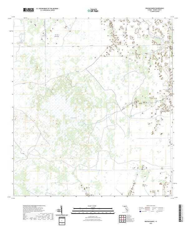
2024 Map of Graham Marsh
USGS Topo · Published 2024About this map
Graham Marsh and its surrounding wetlands dominate this Hendry County landscape, illustrating the intricate hydrology of South Florida's interior. The terrain is defined by low-lying sloughs and subtle elevation changes, where named features like Tom Still Hammock stand out as dry-ground landmarks amidst the seasonally flooded plains. These hammocks were historically vital for cattle ranching and early settlement, providing refuge for both people and livestock.
Find a feature on this map
14 named features on this map. Tap any name to fly to it.
Don’t see what you’re looking for? This feature index may not catch every label — zoom into the map to look around manually.
Map Details
Editions of this 2024 Graham Marsh Map
This is the sole edition of this map. No revisions or reprints were ever made.
Other maps of this area

1956 · West Palm Beach
USGS Topo · 1:250,000

1957 · West Palm Beach
USGS Topo · 1:250,000

1958 · West Palm Beach
USGS Topo · 1:250,000

1958 · Felda SE
USGS Topo · 1:24,000

1958 · Immokalee NE
USGS Topo · 1:24,000

1958 · Felda NE
USGS Topo · 1:24,000

1970 · La Belle 4 SE
USGS Topo · 1:24,000

1970 · La Belle 4 NW
USGS Topo · 1:24,000

1970 · La Belle 4 NE
USGS Topo · 1:24,000

1971 · La Belle 4 SW
USGS Topo · 1:24,000