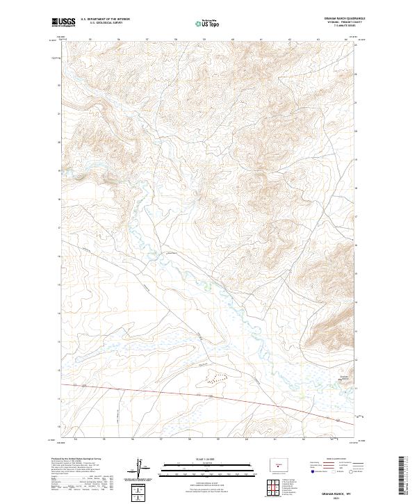
2021 Map of Graham Ranch
USGS Topo · Published 2021About this map
The Sweetwater River winds through this central Wyoming landscape, following a drainage basin that has served as a vital corridor for westward migration since the mid-19th century. The northern edge of the Granite Mountains is visible in the southeast, providing a topographical anchor to a region defined by high-elevation plains and seasonal watercourses. Significant historical evidence is grounded in the map's labels, most notably the path of the Oregon Trl, which parallels the modern Graham Rd and the river. Settlement is sparse, represented by the isolated Graham Ranch situated near the confluence of the river and Long Cr. This area is characterized by vast drainage features like the Ice Slough, reflecting the specialized hydrology required to support life and livestock in the arid Fremont County interior.
Find a feature on this map
14 named features on this map. Tap any name to fly to it.
Don’t see what you’re looking for? This feature index may not catch every label — zoom into the map to look around manually.
Map Details
Editions of this 2021 Graham Ranch Map
This is the sole edition of this map. No revisions or reprints were ever made.
Other maps of this area

1951 · Soap Holes
USGS Topo · 1:24,000

1951 · Crooks Creek NE
USGS Topo · 1:24,000

1951 · Stampede Meadow
USGS Topo · 1:24,000

1951 · Graham Ranch
USGS Topo · 1:24,000

1951 · Crooks Mountain
USGS Topo · 1:24,000

1951 · Myers Ranch
USGS Topo · 1:24,000

1952 · Tin Cup Mountain
USGS Topo · 1:24,000

1952 · Muskrat Basin
USGS Topo · 1:24,000

1953 · Elkhorn Springs
USGS Topo · 1:24,000

1955 · Lander
USGS Topo · 1:250,000