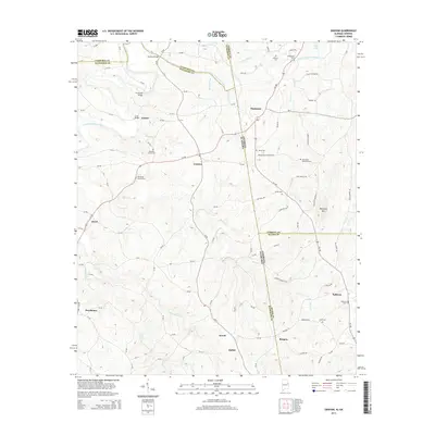
2014 Map of Graham
USGS Topo · Published 2014About this map
The Little Tallapoosa River winds across this borderland where Alabama and Georgia meet, shaping a landscape of small agricultural settlements and rural crossings. In the early 21st century, the area remains anchored by community hubs like Graham and Ephesus, with numerous small cemeteries serving as genealogical touchpoints for local families. Landmarks such as Muckfau Bridge, Coles Bridge, and Thompson Bridge highlight the historical importance of river access in connecting these upland communities. The terrain is defined by drainages like Shoal Cr and Tanyard Br, while Blackjack Mtn stands as a prominent topographical feature near the state line. For those tracing family roots or local history, the map preserves the locations of several historic burial grounds, including the Old Shiloh Church Cem and Bethenia Church Cem, which are central to the region’s social and religious heritage.
Find a feature on this map
109 named features on this map. Tap any name to fly to it.
Don’t see what you’re looking for? This feature index may not catch every label — zoom into the map to look around manually.
Map Details
Editions of this 2014 Graham Map
This is the sole edition of this map. No revisions or reprints were ever made.
Other maps of this area

1889 · Tallapoosa
USGS Topo · 1:125,000

1892 · Tallapoosa
USGS Topo · 1:125,000

1897 · Tallapoosa
USGS Topo · 1:125,000

1899 · Wedowee
USGS Topo · 1:125,000

1902 · Wedowee
USGS Topo · 1:125,000

1953 · Atlanta
USGS Topo · 1:250,000

1957 · Atlanta
USGS Topo · 1:250,000

1958 · Atlanta
USGS Topo · 1:250,000

1958 · Carrollton
USGS Topo · 1:62,500

1964 · Roopville
USGS Topo · 1:24,000