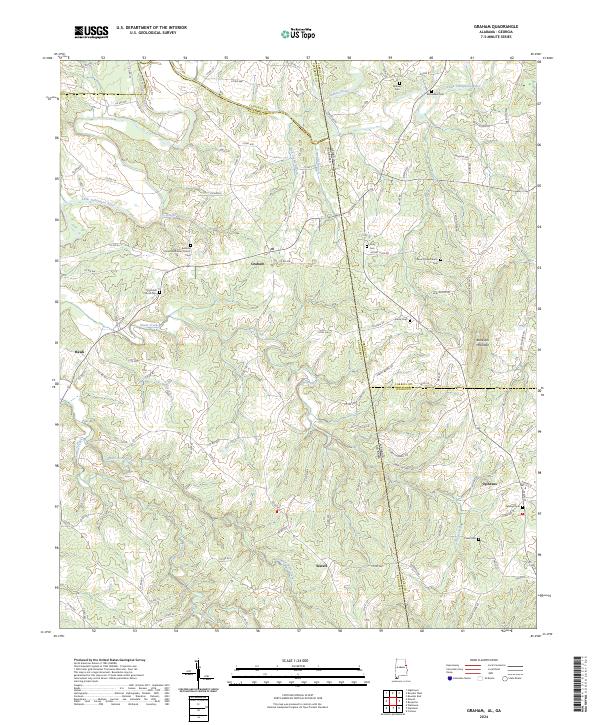
2024 Map of Graham
USGS Topo · Published 2024About this map
Graham and Ephesus anchor this modern topographic view of the Alabama-Georgia borderlands, where the terrain transitions across the Little Tallapoosa River and various tributary branches. The area is defined by its rural density of community centers, including Bethena United Methodist Church and Old Shiloh Church, alongside numerous family and church burial grounds such as Midway Cem, Bethlehem Cem, and Coats Cem. These landmarks, many situated along the network of county roads like Co RD 430 and Co RD 435, provide essential reference points for genealogists and local historians tracing families across county lines.
Find a feature on this map
113 named features on this map. Tap any name to fly to it.
Don’t see what you’re looking for? This feature index may not catch every label — zoom into the map to look around manually.
Map Details
Editions of this 2024 Graham Map
This is the sole edition of this map. No revisions or reprints were ever made.
Other maps of this area

1889 · Tallapoosa
USGS Topo · 1:125,000

1892 · Tallapoosa
USGS Topo · 1:125,000

1897 · Tallapoosa
USGS Topo · 1:125,000

1899 · Wedowee
USGS Topo · 1:125,000

1902 · Wedowee
USGS Topo · 1:125,000

1953 · Atlanta
USGS Topo · 1:250,000

1957 · Atlanta
USGS Topo · 1:250,000

1958 · Atlanta
USGS Topo · 1:250,000

1958 · Carrollton
USGS Topo · 1:62,500

1964 · Roopville
USGS Topo · 1:24,000