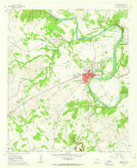
1961 Map of Granbury
USGS Topo · Published 1963About this map
Granbury serves as the focal point of this Hood County landscape, situated along a sharp meander of the Brazos River. During the early 1960s, the town's layout was defined by the Gulf Colorado and Santa Fe railroad line passing through its center. To the northwest, the settlement of Thorp Spring remains a significant landmark, home to the Thorp Spring Cem. The surrounding terrain is characterized by dramatic elevation changes, notably at Comanche Peak in the south and Thompson Mtn near the Peveler Valley. Local history is preserved in several rural burial sites like Brushy Cem and educational footprints such as Friendship Sch. Youth recreation is also visible at Camp Leonard and Camp Crucis, highlighting the river's role in the regional culture before major modern developments altered the banks of the Stockton Bend.
Find a feature on this map
39 named features on this map. Tap any name to fly to it.
Don’t see what you’re looking for? This feature index may not catch every label — zoom into the map to look around manually.
Map Details
Editions of this 1961 Granbury Map
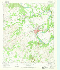
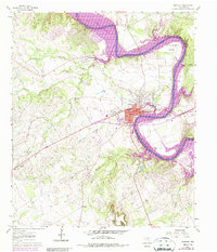
Other maps of this area

1889 · Granbury
USGS Topo · 1:125,000

1891 · Weatherford
USGS Topo · 1:125,000

1893 · Weatherford
USGS Topo · 1:125,000

1923 · Granbury 2-a
USGS Topo · 1:48,000

1923 · Granbury 1-b
USGS Topo · 1:48,000

1924 · Weatherford 3-d
USGS Topo · 1:48,000

1924 · Granbury 1-c
USGS Topo · 1:48,000

1928 · Godley
USGS Topo · 1:62,500

1931 · Dennis
USGS Topo · 1:62,500

1931 · Tolar
USGS Topo · 1:62,500