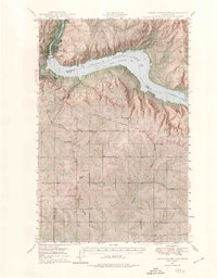
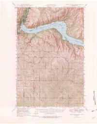
1948 Map of Grand Coulee Dam
USGS Topo · Published 1974About this map
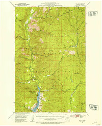
The Grand Coulee Dam and its massive industrial infrastructure dominate the upper portion of this mid-century landscape, shortly after the 1946 aerial surveys. This map documents the complex geography of the Columbia River corridor as it transitions into the Franklin D. Roosevelt Lake National Recreational Area. Settlements such as Elmer City, Lone Pine, and Grand Coulee are shown alongside critical utilities like the Pumping Plant and the Bonneville Power Transmission Lines. Further south, the map reveals a more rural, localized network of landmarks, including the Lafollette Cem and the Grand Coulee Grange. This era of the Washington interior was defined by the intersection of tribal land at the Colville Indian Reservation and the massive federal hydroelectric projects that reshaped the river's path through the deep draws and canyons of the Basin.
Find a feature on this map
36 named features on this map. Tap any name to fly to it.
Don’t see what you’re looking for? This feature index may not catch every label — zoom into the map to look around manually.
Map Details
Editions of this 1948 Grand Coulee Dam Map
6 editions found
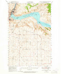
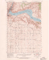
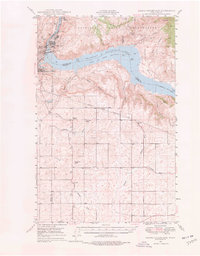
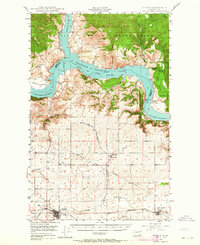
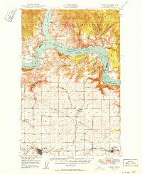
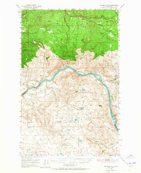
Other maps of this area

1948 · Grand Coulee Dam
USGS Topo · 1:62,500
1948 · Wilbur
USGS Topo · 1:62,500
1950 · Wilbur
USGS Topo · 1:62,500

1950 · Grand Coulee Dam
USGS Topo · 1:62,500

1950 · Nespelem
USGS Topo · 1:62,500
1950 · Alameda Flat
USGS Topo · 1:62,500

1952 · Alameda Flat
USGS Topo · 1:62,500
1952 · Keller
USGS Topo · 1:62,500

1953 · Ritzville
USGS Topo · 1:250,000

1954 · Okanogan
USGS Topo · 1:250,000