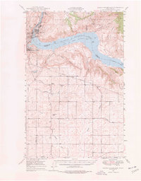
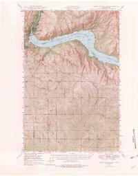
1948 Map of Grand Coulee Dam
USGS Topo · Published 1978About this map
Grand Coulee Dam dominates the landscape along the Columbia River, marking a pivotal era of industrial and hydroelectric development. This survey, based on 1946 aerial photography, captures the newly formed Franklin D Roosevelt Lake and its surrounding settlements including Elmer City, Grand Coulee, and Coulee Dam. Beyond the massive concrete structure and its associated Pumping Plant, the map reveals the older rural character of the region. To the south, the intricate network of the Bonneville Power Transmission Lines cuts across the plateau, while local landmarks like the Grand Coulee Grange and Lafollette Cem provide valuable touchpoints for genealogists. The geography is defined by deep draws such as Broadax Draw and Childers Draw, illustrating the complex terrain adjacent to the Colville Indian Reservation.
Find a feature on this map
39 named features on this map. Tap any name to fly to it.
Don’t see what you’re looking for? This feature index may not catch every label — zoom into the map to look around manually.
Map Details
Editions of this 1948 Grand Coulee Dam Map
6 editions found
Other maps of this area

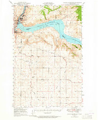
1948 · Grand Coulee Dam
USGS Topo · 1:62,500

1948 · Wilbur
USGS Topo · 1:62,500

1950 · Wilbur
USGS Topo · 1:62,500

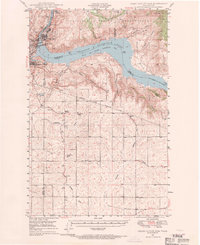
1950 · Grand Coulee Dam
USGS Topo · 1:62,500

1950 · Nespelem
USGS Topo · 1:62,500

1950 · Alameda Flat
USGS Topo · 1:62,500

1952 · Alameda Flat
USGS Topo · 1:62,500

1952 · Keller
USGS Topo · 1:62,500

1953 · Ritzville
USGS Topo · 1:250,000

1954 · Okanogan
USGS Topo · 1:250,000