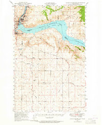
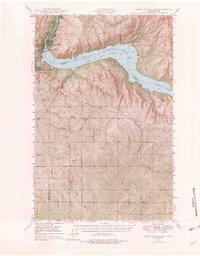
1948 Map of Grand Coulee Dam
USGS Topo · Published 1964About this map
The Grand Coulee Dam anchors this post-war landscape, holding back the waters of the Franklin D Roosevelt Lake along the border of the Colville Indian Reservation. This 1948 field survey captures the engineering and social infrastructure of the mid-century Coulee region, showing the proximity of settlements like Grand Coulee, Coulee Dam, and Elmer City near the dam's power generation and irrigation facilities. Away from the water, the map reveals the rural character of the high country, including the Lafollette Cem and the Grand Coulee Grange, alongside numerous named coulees and draws such as Klobuschar Draw and Broadax Draw. The landscape is etched with the geological legacy of the Channeled Scablands, evidenced by features like Sand Hill and the deep cuts of Hells Canyon and Kwei Kwei Canyon.
Find a feature on this map
41 named features on this map. Tap any name to fly to it.
Don’t see what you’re looking for? This feature index may not catch every label — zoom into the map to look around manually.
Map Details
Editions of this 1948 Grand Coulee Dam Map
6 editions found
Other maps of this area

1948 · Grand Coulee Dam
USGS Topo · 1:62,500

1948 · Wilbur
USGS Topo · 1:62,500

1950 · Wilbur
USGS Topo · 1:62,500

1950 · Grand Coulee Dam
USGS Topo · 1:62,500

1950 · Nespelem
USGS Topo · 1:62,500

1950 · Alameda Flat
USGS Topo · 1:62,500

1952 · Alameda Flat
USGS Topo · 1:62,500

1952 · Keller
USGS Topo · 1:62,500

1953 · Ritzville
USGS Topo · 1:250,000

1954 · Okanogan
USGS Topo · 1:250,000