
1938 Map of Grand Forks
USGS Topo · Published 1938About this map
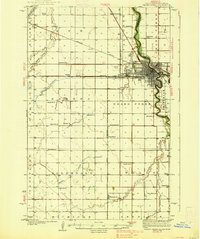
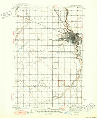
The Red River of the North winds through this 1930s landscape, marking the border between North Dakota and Minnesota where it meets the Red Lake River. The city of Grand Forks serves as a dense hub of education and transit, anchored by the University of North Dakota and Wesley College. Surrounding the urban center, a systematic grid of agricultural townships like Brennan and Allendale is dotted with numerous numbered rural schoolhouses and small community anchors such as Brenna Ch.
Find a feature on this map
55 named features on this map. Tap any name to fly to it.
Don’t see what you’re looking for? This feature index may not catch every label — zoom into the map to look around manually.
Map Details
Editions of this 1938 Grand Forks Map
3 editions found
Other maps of this area

1918 · Warren
USGS Topo · 1:62,500

1919 · Eldred
USGS Topo · 1:62,500

1926 · Ardoch
USGS Topo · 1:62,500

1934 · Emerado
USGS Topo · 1:48,000

1934 · Grand Forks
USGS Topo · 1:24,000

1934 · Grand Forks
USGS Topo · 1:62,500

1936 · Emerado
USGS Topo · 1:62,500

1952 · Grand Forks
USGS Topo · 1:250,000

1952 · Thief River Falls
USGS Topo · 1:250,000

1955 · Warren
USGS Topo · 1:62,500