
1954 Map of Grand Island
USGS Topo · Published 1956About this map
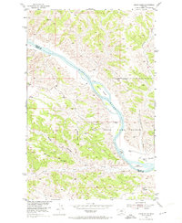
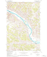
The Missouri River carves a deep valley through the high plains of Central Montana, defining the boundary between Phillips and Fergus Counties. This mid-century survey documents a landscape dominated by the Fort Peck Game Range, where the river’s course is interrupted by prominent features like Grand Island and the smaller Upper Two Calf I and Lower Two Calf Island. The terrain is characterized by intricate drainage systems such as Reed Coulee and Two Calf Creek, which feed into the river from the surrounding high ground of Barnes Ridge and Knox Ridge. This area shows a transition toward organized land management in the post-war era, evidenced by the presence of a Landing Strip and established survey points like VABM Crystal 3097. The alluvial flats of Kendall Bottoms represent the rare level ground in an otherwise highly dissected breaks landscape.
Find a feature on this map
15 named features on this map. Tap any name to fly to it.
Don’t see what you’re looking for? This feature index may not catch every label — zoom into the map to look around manually.
Map Details
Editions of this 1954 Grand Island Map
3 editions found
Other maps of this area

1943 · Landusky
USGS Topo · 1:125,000

1954 · Cow Island
USGS Topo · 1:24,000

1954 · Hessler Ridge
USGS Topo · 1:24,000

1954 · Baker Monument
USGS Topo · 1:24,000

1954 · Bell Ridge West
USGS Topo · 1:24,000

1954 · Lewistown
USGS Topo · 1:250,000

1959 · Lewistown
USGS Topo · 1:250,000
1971 · D Y Junction
USGS Topo · 1:24,000
1971 · Shetland Divide
USGS Topo · 1:24,000

1984 · Zortman
USGS Topo · 1:100,000