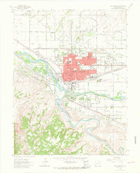
1962 Map of Grand Junction
USGS Topo · Published 1964About this map
The confluence of the Colorado River and Gunnison River serves as the focal point for this early 1960s study of Grand Junction. The city's grid is firmly established, centered on Main St and North Ave, with the Denver and Rio Grande Western RR corridor acting as a industrial and logistical spine through the valley. Significant institutional development is visible, ranging from the sprawling State Home and Training Sch to the Veterans Hospital and the campus of Mesa College.
Find a feature on this map
80 named features on this map. Tap any name to fly to it.
Don’t see what you’re looking for? This feature index may not catch every label — zoom into the map to look around manually.
Map Details
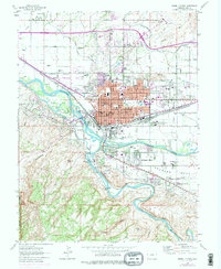
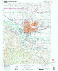
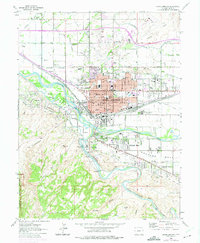
Editions of this 1962 Grand Junction Map
4 editions found
Other maps of this area
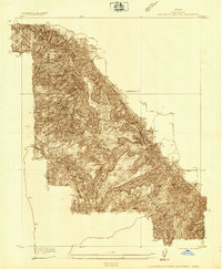
1934 · Colorado National Monument
USGS Topo · 1:24,000
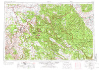
1956 · Moab
USGS Topo · 1:250,000
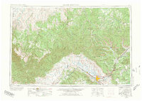
1956 · Grand Junction
USGS Topo · 1:250,000
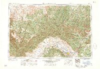
1959 · Grand Junction
USGS Topo · 1:250,000
1959 · Moab
USGS Topo · 1:250,000
1960 · Moab
USGS Topo · 1:250,000
1960 · Grand Junction
USGS Topo · 1:250,000
1962 · Moab
USGS Topo · 1:250,000
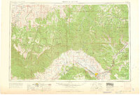
1962 · Grand Junction
USGS Topo · 1:250,000
1962 · Fruita
USGS Topo · 1:24,000