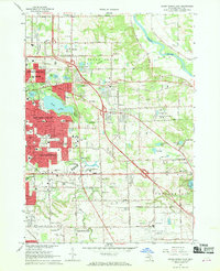
1967 Map of Grand Rapids East
USGS Topo · Published 1969About this map
The Grand River and the Thornapple River frame this mid-century view of eastern Grand Rapids, capturing the post-war suburban expansion toward Kentwood and Cascade. This era of growth is anchored by significant institutional and commercial footprints, including the Kent County Airport and the sprawling Eastbrook Shopping Center. Educational landmarks like Calvin Knollerest College and Grand Rapids Bible College sit alongside established community spaces such as Woodlawn Cemetery.
Find a feature on this map
89 named features on this map. Tap any name to fly to it.
Don’t see what you’re looking for? This feature index may not catch every label — zoom into the map to look around manually.
Map Details
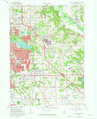
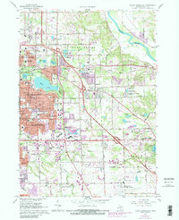
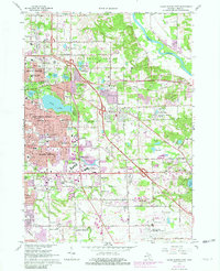
Editions of this 1967 Grand Rapids East Map
4 editions found
Other maps of this area

1914 · Grand Rapids
USGS Topo · 1:62,500

1918 · Cedar Springs
USGS Topo · 1:62,500

1918 · Lowell
USGS Topo · 1:62,500

1943 · Cedar Springs
USGS Topo · 1:62,500

1943 · Grand Rapids
USGS Topo · 1:62,500

1943 · Lowell
USGS Topo · 1:62,500

1954 · Midland
USGS Topo · 1:250,000

1958 · Midland
USGS Topo · 1:250,000

1958 · Grand Rapids
USGS Topo · 1:250,000

1959 · Midland
USGS Topo · 1:250,000