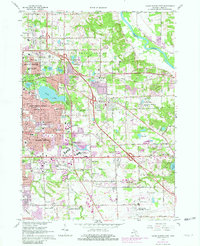
1967 Map of Grand Rapids East
USGS Topo · Published 1982About this map
Grand River and the Thornapple River converge toward the eastern edge of this landscape, defining a period of rapid suburban transition for the region during the late sixties and early eighties. Purple overprints highlight the expanding residential footprints of Kentwood and Eastmont, while established neighborhoods in East Grand Rapids surround Reeds Lake. Educational and religious institutions are dense throughout the area, including Calvin Knollcrest College and the Grand Rapids Bible College. The transport network is anchored by the Grand Trunk Western and Chesapeake and Ohio railroads, which cut through the terrain alongside newer interstate corridors. Large commercial hubs like the Woodland Shopping Center and Eastbrook Shopping Center mark the shift toward modern retail centers, even as older landmarks like the Graceland Mausoleum and Woodlawn Cem remain as fixed points of local history.
Find a feature on this map
111 named features on this map. Tap any name to fly to it.
Don’t see what you’re looking for? This feature index may not catch every label — zoom into the map to look around manually.
Map Details
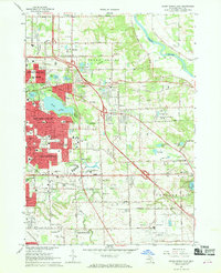
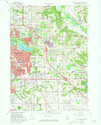
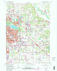
Editions of this 1967 Grand Rapids East Map
4 editions found
Other maps of this area

1914 · Grand Rapids
USGS Topo · 1:62,500

1918 · Cedar Springs
USGS Topo · 1:62,500

1918 · Lowell
USGS Topo · 1:62,500

1943 · Cedar Springs
USGS Topo · 1:62,500

1943 · Grand Rapids
USGS Topo · 1:62,500

1943 · Lowell
USGS Topo · 1:62,500

1954 · Midland
USGS Topo · 1:250,000

1958 · Midland
USGS Topo · 1:250,000

1958 · Grand Rapids
USGS Topo · 1:250,000

1959 · Midland
USGS Topo · 1:250,000