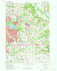
1967 Map of Grand Rapids East
USGS Topo · Published 1973About this map
Suburban expansion and infrastructure development characterize this area of eastern Kent County during the late 1960s and early 1970s. The Kent County Airport sits at the southeastern corner, serving as a primary transit hub for the region while new residential developments push into former farmland. The landscape is defined by its transition from the urban core of Grand Rapids and East Grand Rapids to the burgeoning communities of Kentwood and Cascade. Significant commercial hubs such as the Woodland Shopping Center and Eastbrook Shopping Center appear along the 28th Street corridor, illustrating the era's shift toward automobile-centric retail.
Find a feature on this map
116 named features on this map. Tap any name to fly to it.
Don’t see what you’re looking for? This feature index may not catch every label — zoom into the map to look around manually.
Map Details
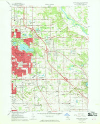
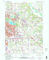
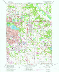
Editions of this 1967 Grand Rapids East Map
4 editions found
Other maps of this area

1914 · Grand Rapids
USGS Topo · 1:62,500

1918 · Cedar Springs
USGS Topo · 1:62,500

1918 · Lowell
USGS Topo · 1:62,500

1943 · Cedar Springs
USGS Topo · 1:62,500

1943 · Grand Rapids
USGS Topo · 1:62,500

1943 · Lowell
USGS Topo · 1:62,500

1954 · Midland
USGS Topo · 1:250,000

1958 · Midland
USGS Topo · 1:250,000

1958 · Grand Rapids
USGS Topo · 1:250,000

1959 · Midland
USGS Topo · 1:250,000