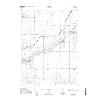
2019 Map of Grand Rapids
USGS Topo · Published 2019About this map
The Maumee River defines the landscape of this region, separating Lucas Co and Wood Co as it flows past a chain of river islands. The map details an environment where early transport infrastructure left its mark, evidenced by the Towpath Trail following the riverbank near Otsego. Settlement patterns are concentrated along the river corridor, with the village of Grand Rapids at the southwestern bend and Waterville at the northeastern edge.
Find a feature on this map
76 named features on this map. Tap any name to fly to it.
Don’t see what you’re looking for? This feature index may not catch every label — zoom into the map to look around manually.
Map Details
Editions of this 2019 Grand Rapids Map
This is the sole edition of this map. No revisions or reprints were ever made.
Other maps of this area

1900 · Toledo
USGS Topo · 1:62,500

1901 · Bowling Green
USGS Topo · 1:62,500

1903 · Bowling Green
USGS Topo · 1:62,500

1909 · Mc Clure
USGS Topo · 1:62,500

1911 · Swanton
USGS Topo · 1:62,500

1914 · Swanton
USGS Topo · 1:62,500

1935 · Grand Rapids
USGS Topo · 1:24,000

1935 · Whitehouse
USGS Topo · 1:24,000

1935 · Maumee
USGS Topo · 1:24,000
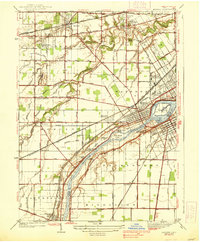
1938 · Maumee
USGS Topo · 1:31,680