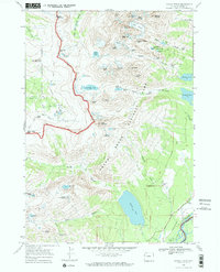
1968 Map of Grand Teton
USGS Topo · Published 1973About this map
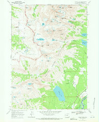
Grand Teton rises as the central apex of this 1968 topographic study, which documents the high-altitude landscape and evolving recreational infrastructure of the late 1960s. The map captures the meeting point of Targhee National Forest and Grand Teton National Park, revealing a network of early trails such as the Teton Crest Trail and the Death Canyon Trail. Along the eastern edge, the transition from the high peaks to the valley floor is marked by historic seasonal properties, including the White Grass Ranch, J Y Ranch, and R Lazy S Ranch. Notable glacial features like the Middle Teton Glacier and Schoolroom Glacier are shown alongside significant water bodies such as Phelps Lake and Bradley Lake. A Landing Strip near the Snake River and several ranger facilities, including the White Grass Ranger Station, illustrate the management of this wilderness area during a period of increasing public access.
Find a feature on this map
87 named features on this map. Tap any name to fly to it.
Don’t see what you’re looking for? This feature index may not catch every label — zoom into the map to look around manually.
Map Details
Editions of this 1968 Grand Teton Map
3 editions found
Other maps of this area

1899 · Grand Teton
USGS Topo · 1:125,000

1901 · Grand Teton
USGS Topo · 1:125,000

1955 · Driggs
USGS Topo · 1:250,000

1958 · Driggs
USGS Topo · 1:250,000

1962 · Driggs
USGS Topo · 1:250,000
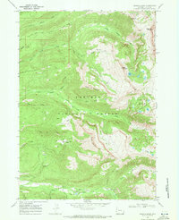
1968 · Granite Basin
USGS Topo · 1:24,000
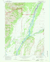
1968 · Teton Village
USGS Topo · 1:24,000

1968 · Moose
USGS Topo · 1:24,000
1968 · Grand Teton
USGS Topo · 1:24,000
1968 · Jenny Lake
USGS Topo · 1:24,000