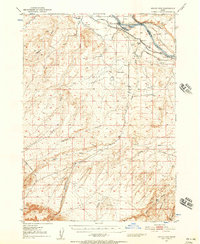
1947 Map of Grand View
USGS Topo · Published 1957About this map
The Snake River corridor defines the northern edge of this high-desert landscape, where the settlement of Grand View anchors a region of early irrigation and ranching. The map reveals a complex hydraulic system necessary for Owyhee County's agriculture, including several Artesian Wells and numerous canals siphoning water from the river to support the surrounding benchlands. Inland from the river, the terrain rises into the expansive Twentymile Flat and is carved by a network of drainage systems like Vinson Wash and Shoofly Gulch.
Find a feature on this map
21 named features on this map. Tap any name to fly to it.
Don’t see what you’re looking for? This feature index may not catch every label — zoom into the map to look around manually.
Map Details
Editions of this 1947 Grand View Map
2 editions found
Other maps of this area

1892 · Mountain Home
USGS Topo · 1:125,000

1892 · Bisuka
USGS Topo · 1:125,000

1893 · Mountain Home
USGS Topo · 1:125,000

1894 · Bisuka
USGS Topo · 1:125,000

1946 · Mouth of Bruneau
USGS Topo · 1:24,000

1947 · Little Valley
USGS Topo · 1:24,000

1947 · Grand View
USGS Topo · 1:62,500

1947 · Bruneau
USGS Topo · 1:62,500

1947 · Grand View
USGS Topo · 1:24,000

1947 · Jackass Butte
USGS Topo · 1:24,000