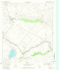
1969 Map of Grandfalls
USGS Topo · Published 1981About this map
The Pecos River carves through this arid Texas landscape, marking the boundary between Ward, Pecos, and Crane counties. This late 1960s survey, with 1980s updates, details an intensive network of petroleum extraction and irrigation infrastructure. The Shipley Oil Field and Payton Oil Field dominate the uplands, characterized by numerous gravel pits and well sites connected by a web of pipelines.
Find a feature on this map
29 named features on this map. Tap any name to fly to it.
Don’t see what you’re looking for? This feature index may not catch every label — zoom into the map to look around manually.
Map Details
Editions of this 1969 Grandfalls Map
2 editions found
Other maps of this area

1954 · Pecos
USGS Topo · 1:250,000

1957 · Pecos
USGS Topo · 1:250,000

1969 · Ozark Lake
USGS Topo · 1:24,000

1969 · Grandfalls
USGS Topo · 1:24,000

1969 · 7 L Ranch
USGS Topo · 1:24,000
1972 · Buena Vista
USGS Topo · 1:24,000
1974 · Diamond Y Spring NE
USGS Topo · 1:24,000
1974 · Imperial NW
USGS Topo · 1:24,000
1974 · Diamond Y Spring NW
USGS Topo · 1:24,000
1974 · Imperial
USGS Topo · 1:24,000