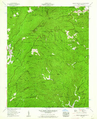
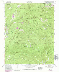
1960 Map of Grandfather Mountain
USGS Topo · Published 1961About this map
Grandfather Mountain and the towering peaks of the Blue Ridge dominate this topographic study, revealing the landscape before modern development fully altered the high country. The map captures the famous Mile High Swinging Bridge and nearby U.S. Weather Station on the ridge, alongside natural landmarks like Calloway Peak and The Sphinx Rock. In the valley, the village of Linville is shown with its early road network and Golf course, while smaller settlements such as Gragg and Edgemont appear further south.
Find a feature on this map
98 named features on this map. Tap any name to fly to it.
Don’t see what you’re looking for? This feature index may not catch every label — zoom into the map to look around manually.
Map Details
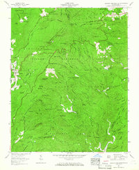
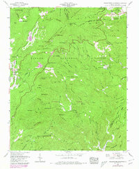
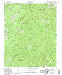
Editions of this 1960 Grandfather Mountain Map
5 editions found
Other maps of this area

1893 · Cranberry
USGS Topo · 1:125,000

1895 · Cranberry
USGS Topo · 1:125,000

1899 · Cranberry
USGS Topo · 1:125,000

1902 · Cranberry
USGS Topo · 1:125,000

1905 · Morganton
USGS Topo · 1:125,000

1934 · Valle Crucis
USGS Topo · 1:24,000

1934 · Elk Park
USGS Topo · 1:24,000

1934 · Linville Falls
USGS Topo · 1:24,000

1934 · Boone
USGS Topo · 1:24,000

1934 · Newland
USGS Topo · 1:24,000